Broulee Beach sits on the Eurobodalla coastline of NSW, with the adjacent Broulee Island — widely regarded as one of the best snorkelling spots along the South Coast. Protected, calm waters (typically 2–4 m deep) make it ideal for all levels. Snorkellers explore two main areas around the island: the sheltered northern side, which stays good in south/south-east winds, and the more exposed southern shores. The beach itself offers a long stretch of golden sand framed by rugged headlands, with clear conditions inviting close encounters with reef fish and the occasional sea turtle or weedy sea dragon.
Broulee Beach
BeginnerMAYBE
MAYBE
Fair. Experienced snorkellers only.
Showing last known conditions
Wave Height 0.0 mSwell Period 0.0 sWind Speed 1.4 knPrecipitation 16 mmTidal Phase slack
Last evaluated
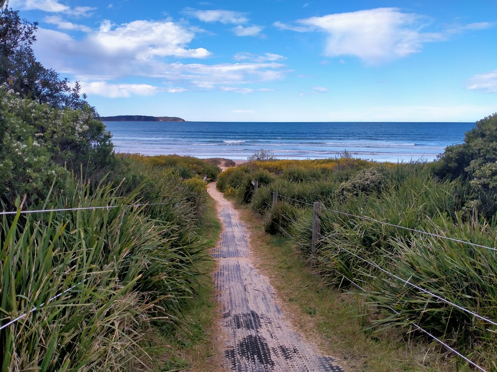 © SandwichCafe
The spot
Community-maintained
Community contribution: submitted by Daniel
Know before you go
Logged by the community, confirmed by mods
Low risk: Swell exposure on north side
In south/south-east winds, the north side can still be good if little swell, but moderate swell can create choppy conditions. Check conditions before entering.
Low risk: Tidal causeway access
The sandy causeway connecting Broulee Island to the beach is only passable at low tide. Snorkellers must time their crossing carefully to avoid being cut off.
Low risk: Boat traffic
Shared waterway with small boats and kayaks, particularly on calm days. Stay aware of vessel movements near the island.
Low risk: Shifting sandbars
The beach and near-shore area can have shifting sandbars that affect water depth and entry/exit points after storms or large swell events.
Low risk: Southerly swell
The north side of Broulee Island is sheltered, but when a southerly swell runs the southern side can become rough with dumping waves.
Low risk: Variable currents around island
Tidal currents can run between the beach and Broulee Island, affecting swimmers and snorkellers near the gap.
Low risk: Rocky reef edges
The snorkelling areas around Broulee Island have shallow rocky reef margins with the potential for cuts and scrapes on entry/exit.
Wildlife Guide
No wildlife notes for this spot yet.
Gallery
4 photos from the community
Getting in
Shore entry
Entry
From Batemans Bay, take the Princes Highway south, turn onto Broulee Road and follow to the end at Harbour Drive. The beach and Broulee Island access are via Harbour Drive, Broulee NSW 2537.
Parking & facilities
Limited street parking is available along Harbour Drive near the beach access point.
parking
No entry fee for the beach or snorkelling.
Spot Map
Community
Gallery ┬╖ 4 photos
Trust
Is this spot real, accurate, still loved?
Spots near Victoria

No nearby spots yet.
Needs verification
Quick verify
One tap helps the community keep this spot honest.
About this data
- Conditions last evaluated
- Spot data last updated
- Data sources
- Open-Meteo (marine & weather conditions), tide predictions via UTide, community contributors (descriptions, hazards, marine life).
- License
- Spot content licensed under CC BY-SA 4.0. How's the Spot is open source.
Weather & swell ┬╖ Open-Meteo marine & weather APIs Tides ┬╖ UTide harmonic analysis Sea & safety ┬╖ community reports