The Looking Glass is a spectacular inverted-V crack that carves right through Looking Glass Island, a rocky islet off Broughton Island in the Myall Lakes National Park, 20 km north of Port Stephens. As you swim through the narrow 40-metre passage, sunlight streams down through the open arch, illuminating the clear water and the resident grey nurse sharks that glide along the opposite wall. The far side opens into a natural fishbowl aquarium, while nearby walls and caves shelter eastern blue devilfish, cuttlefish, and numbfish. This is the single most famous dive-and-snorkel site in the region, offering dramatic rock formations, excellent visibility, and guaranteed marine encounters.
Broughton Island - The Looking Glass
IntermediateGO
GO
It's a go.
Showing last known conditions
Wave Height 0.4 mSwell Period 10 sWind Speed 2.5 knPrecipitation 0.1 mmTidal Phase flood
Last evaluated
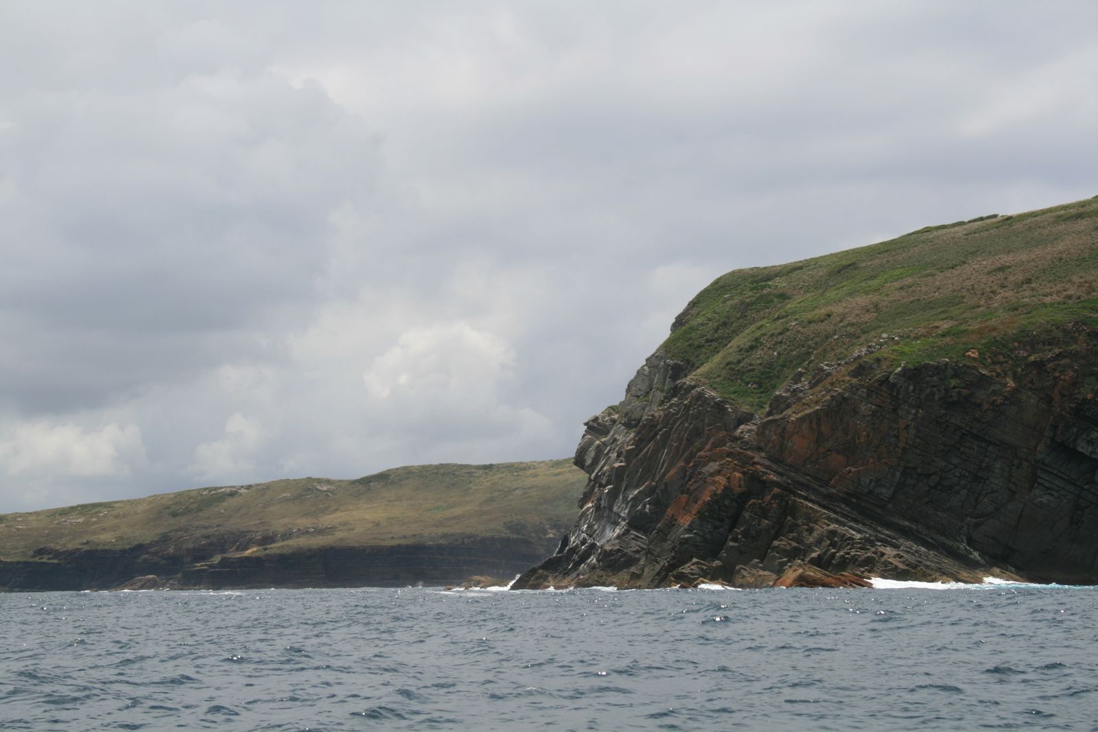 © Privatemusings
DANGER: Explicit Risks Present
Broughton Island - The Looking Glass has hazards marked as danger. Entering the water here means you may face serious risks to your personal safety.
- Overhead cave environment danger
The cave is a confined overhead space requiring good buoyancy control and cave-diving awareness. Exit to open water requires swimming back the way you entered.
The spot
Community-maintained
Community contribution: submitted by Daniel
Know before you go
Logged by the community, confirmed by mods
High risk: Overhead cave environment
The cave is a confined overhead space requiring good buoyancy control and cave-diving awareness. Exit to open water requires swimming back the way you entered.
Moderate risk: Overhead rock arch / confined swim-through
The Looking Glass is a narrow, enclosed rock passage with an overhead ceiling. Snorkellers must be comfortable with confined spaces and careful not to surface into rock.
Moderate risk: Depth variation
Depth changes rapidly from 8 m inside the crack to 18-26 m outside. Snorkellers should stay on the surface or in shallow areas only.
Moderate risk: Surge inside the arch
Strong surge can push snorkellers and divers against the rock walls inside the narrow crack. Group agreement on riding or fighting the surge is essential.
Moderate risk: Shallow ceiling in the gap
The arch shallows to about 8 m; poor buoyancy control can lead to accidental surfacing or contact with the rock overhead.
Moderate risk: North-easterly winds (summer)
NE winds (common in summer) can create choppy conditions on the exposed eastern side of Broughton Island, making the return crossing uncomfortable or unsafe.
Moderate risk: Strong currents at gutters
Big Shark Gutters and Little Shark Gutters can develop strong tidal flows through the rock channels, requiring good fitness and awareness.
Moderate risk: Northeasterly winds
Common summer north-easterly winds (especially early in the day) and southerly winds can create rough sea conditions, making boat passage and snorkelling hazardous.
Moderate risk: Strong ocean currents around headlands
Tidal currents can be strong off the northern and eastern points of the island, especially around Coal Shaft Bay and the Looking Glass passage.
Moderate risk: Air pocket hazard
A large air pocket in the cave roof contains potentially hypoxic or contaminated gas. Do NOT breathe from the pocket — always use your regulator.
Moderate risk: Surge and sea conditions
Moderate seas can create strong surge inside the cave and at the entrance, making entry/exit hazardous. Best in calm conditions.
Moderate risk: Depth limitations
Entrance at 13 m, slope drops to 18 m. This depth range makes it unsuitable for beginner snorkelers and requires diving certification for scuba.
Low risk: Surge inside the crack
A strong surging current can push snorkellers and divers against the rock walls inside the narrow passage. Groups must coordinate to ride or fight the surge.
Low risk: Boat traffic
Access is exclusively by boat and charter vessels frequently navigate around the island. Snorkellers should stay aware of boat movements near the entrance.
Low risk: Remote island access
Broughton Island is boat-access only with no on-site medical facilities. Emergency response times are long.
Low risk: Nesting bird colonies
Silver gulls and terns nest on the southern rocky isthmus; eggs and chicks are camouflaged underfoot. Disturbing nesting birds is prohibited.
Low risk: Sharp volcanic rock
The island's volcanic terrain includes sharp rocks and boulders along the shoreline, posing a cut hazard when entering or exiting the water.
Low risk: Limited access to medical help
The island is remote with no medical facilities. Any injury requires boat evacuation back to the mainland (45–60 min journey).
Low risk: Marine stingers
Bluebottles and occasional jellyfish can appear, particularly in warmer months from November to March.
Wildlife Guide
No wildlife notes for this spot yet.
Gallery
2 photos from the community
Getting in
Snorkel tour
Entry
The Looking Glass is located off Broughton Island, approximately 20 km north of Port Stephens, NSW. Access is by private boat or charter tour from Nelson Bay marina. The boat journey takes 45-60 minutes. Set a GPS course for 32° 37.779' S 152° 18.974' E (WGS84) to find the crack entrance on the western side of Looking Glass Island.
Parking & facilities
Park at the Nelson Bay marina car park or at the Boat Harbour boat ramp (hard beach launch, protected from all but due east winds). Park entry fees to Myall Lakes National Park: $8 per vehicle per day.
parkingtoiletsboat_ramp
Charter dive/snorkel tours from Nelson Bay typically cost $120-$180 per person. National park fees: $8 per vehicle per day.
Spot Map
Community
Gallery ┬╖ 2 photos
Trust
Is this spot real, accurate, still loved?
Spots near New South Wales

No nearby spots yet.
Needs verification
Quick verify
One tap helps the community keep this spot honest.
About this data
- Conditions last evaluated
- Spot data last updated
- Data sources
- Open-Meteo (marine & weather conditions), tide predictions via UTide, community contributors (descriptions, hazards, marine life).
- License
- Spot content licensed under CC BY-SA 4.0. How's the Spot is open source.
Weather & swell ┬╖ Open-Meteo marine & weather APIs Tides ┬╖ UTide harmonic analysis Sea & safety ┬╖ community reports