Boondelbah Island sits just outside the heads of Port Stephens, a pristine offshore sanctuary within the Port Stephens–Great Lakes Marine Park. Its western flank features boulder walls descending to a sandy bottom at 15m, while the southern "Safety Bay" offers a steep gutter teeming with temperate reef fish. The southwest corner hosts a vibrant sponge garden where spotted wobbegongs, nudibranchs (including the striking doughnut nembrotha), and colourful reef fish gather. This island is a boat-access-only gem, offering clear, protected waters on calm days.
Boondelbah Island
IntermediateGO
GO
It's a go.
Showing last known conditions
Wave Height 0.2 mSwell Period 11 sWind Speed 3.2 knPrecipitation 0.0 mmTidal Phase slack
Last evaluated
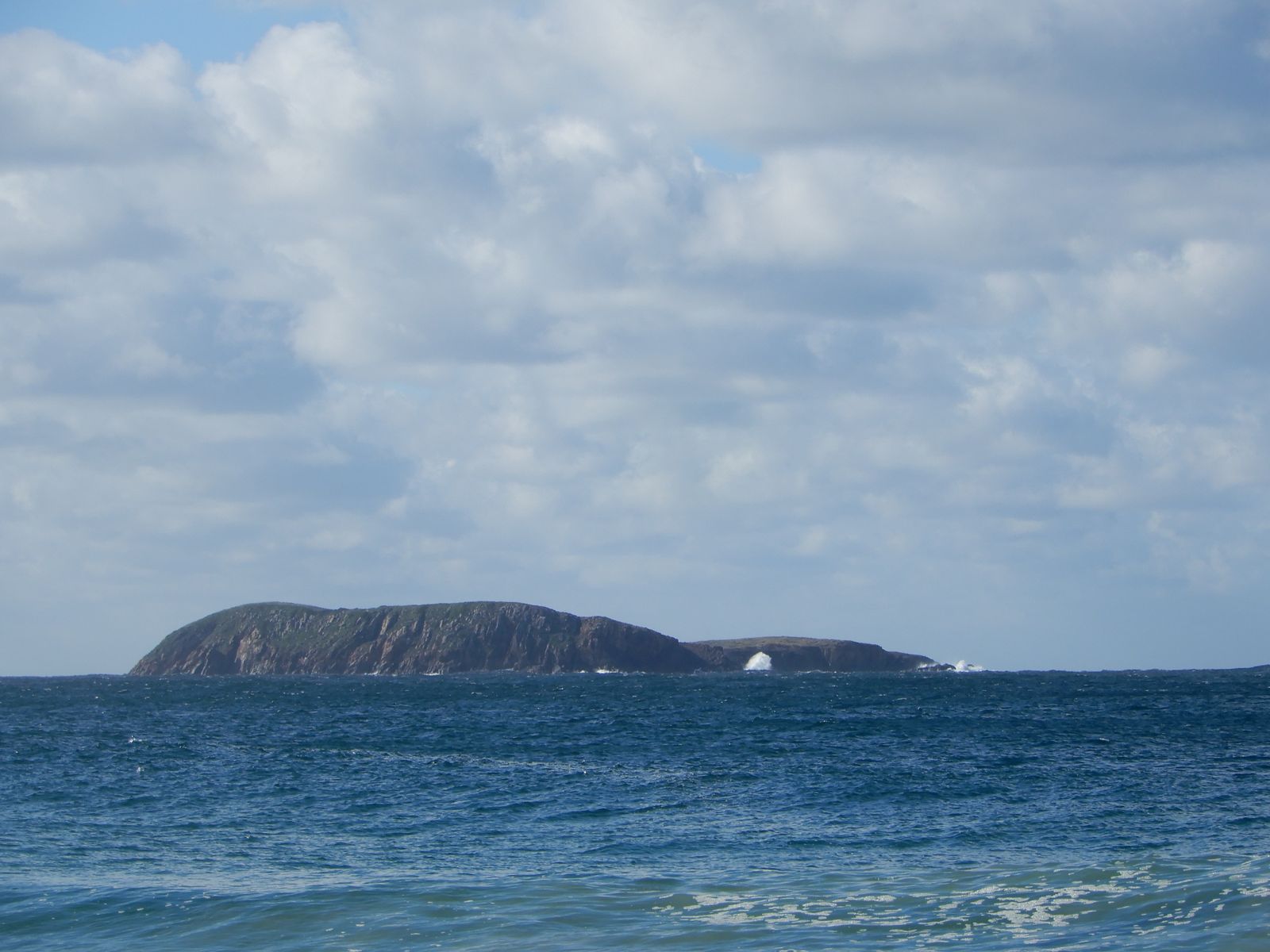 © Plumbago Capensis
The spot
Community-maintained
Community contribution: submitted by Daniel
Know before you go
Logged by the community, confirmed by mods
Moderate risk: Strong tidal currents
Tidal flows through the Port Stephens heads can create strong currents around the island, especially on the exposed eastern side.
Moderate risk: Swell exposure
The eastern side drops steeply and is exposed to ocean swell, making conditions hazardous in easterly winds.
Moderate risk: Remote location
Being an offshore island with no facilities, self-sufficiency is essential; medical help is distant.
Low risk: Boat traffic
The island lies near the Port Stephens entrance channel and is accessed only by boat — marine traffic in the area requires vigilance.
Wildlife Guide
No wildlife notes for this spot yet.
Gallery
1 photo from the community
Getting in
Boat
Entry
Boondelbah Island is located offshore from the entrance to Port Stephens, approximately 5 km east of Nelson Bay. Launch from Nelson Bay Marina or a nearby boat ramp such as the one at Shoal Bay. The island is visible from the heads and is a short boat ride in calm conditions.
Parking & facilities
Parking available at Nelson Bay Marina or Shoal Bay boat ramp car parks (fees may apply during peak season).
parking
No entry fee, but boat launching fees may apply at some ramps. The island is within the Port Stephens–Great Lakes Marine Park — check for any marine park user requirements.
Spot Map
Community
Gallery ┬╖ 1 photos
Trust
Is this spot real, accurate, still loved?
Spots near New South Wales

No nearby spots yet.
Needs verification
Quick verify
One tap helps the community keep this spot honest.
About this data
- Conditions last evaluated
- Spot data last updated
- Data sources
- Open-Meteo (marine & weather conditions), tide predictions via UTide, community contributors (descriptions, hazards, marine life).
- License
- Spot content licensed under CC BY-SA 4.0. How's the Spot is open source.
Weather & swell ┬╖ Open-Meteo marine & weather APIs Tides ┬╖ UTide harmonic analysis Sea & safety ┬╖ community reports