Boat Harbour, on Tasmania's North-West Coast near Port Sorell, boasts dazzling white sand and crystal-clear waters sheltered by rocky headlands. This unspoilt beach offers excellent shore snorkeling with rock pools to explore at low tide, revealing a hidden world of sea life in pristine conditions. The 800m walk from Boat Harbour to Shelter Point is prime for spotting dolphins and seals entering the cove. With gentle waves and calm bays, it's a family-friendly spot that also suits more experienced snorkelers and divers looking to explore deeper offshore.
Boat Harbour
BeginnerGO
GO
It's a go.
Showing last known conditions
Wave Height 0.2 mSwell Period 4.8 sWind Speed 2.8 knPrecipitation 13 mmTidal Phase flood
Last evaluated
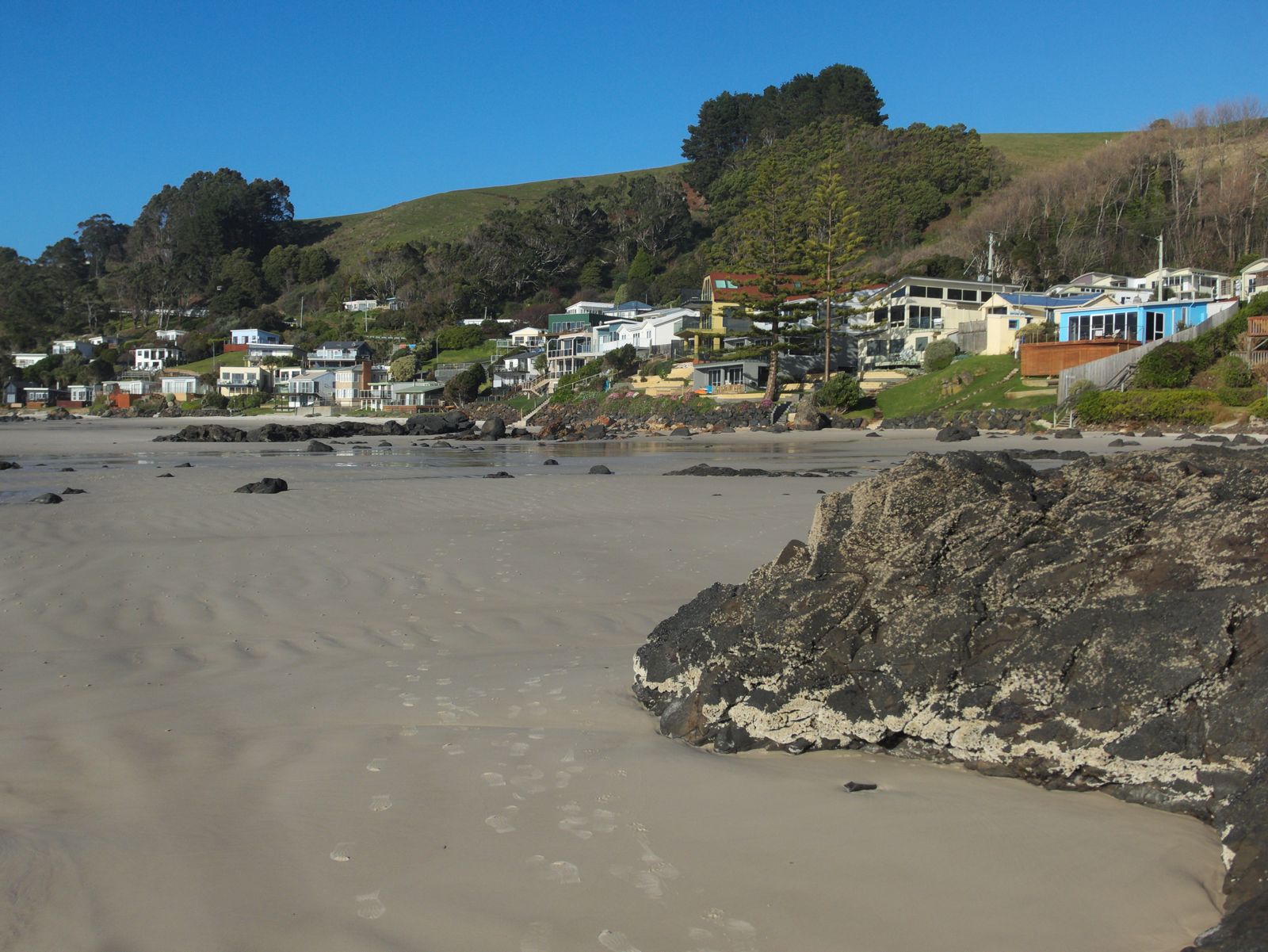 © Gary Houston
The spot
Community-maintained
Community contribution: submitted by Daniel
Know before you go
Logged by the community, confirmed by mods
Low risk: Outgoing tide current
Tidal movement around the rocky headlands can create currents, especially during outgoing tide. Swimmers and snorkelers should be aware of water movement near the points.
Low risk: Rocky headlands and submerged rocks
The beach is flanked by rocky headlands with submerged rocks that can be hazardous, particularly when entering or exiting the water.
Low risk: Low tide rock pool access only
Some of the best snorkeling rock pools are only visible and accessible at low tide. Snorkelers should be mindful of the tidal schedule to avoid being cut off.
Low risk: Boat traffic
Popular area for jet skis, kayaks, paddle boards, and boats which can pose hazards to snorkelers in deeper water during peak season.
Wildlife Guide
No wildlife notes for this spot yet.
Gallery
3 photos from the community
Getting in
Shore entry
Entry
Boat Harbour Beach is located on Tasmania's North-West Coast, approximately 20 minutes west of Burnie via the Bass Highway. Take the Boat Harbour exit and follow the winding road down the hill to the beach.
Parking & facilities
Parking is available close to the beach near the surf club. Note that some construction works associated with the beach master plan may affect parking areas.
toiletsparkingpicnic_tablesshowers
No fees for beach access.
Spot Map
Community
Gallery ┬╖ 3 photos
Trust
Is this spot real, accurate, still loved?
Spots near Tasmania

No nearby spots yet.
Needs verification
Quick verify
One tap helps the community keep this spot honest.
About this data
- Conditions last evaluated
- Spot data last updated
- Data sources
- Open-Meteo (marine & weather conditions), tide predictions via UTide, community contributors (descriptions, hazards, marine life).
- License
- Spot content licensed under CC BY-SA 4.0. How's the Spot is open source.
Weather & swell ┬╖ Open-Meteo marine & weather APIs Tides ┬╖ UTide harmonic analysis Sea & safety ┬╖ community reports