Boambee Creek forms a tranquil, crystal-clear estuary that flows through mangroves and melaleuca forests before meeting the sea near Sawtell. Sheltered from the open ocean, this calm waterway offers exceptional snorkeling for all ages, with sandy edges and shallow flats teeming with marine life. Float with the incoming tide past railway bridges and overhanging paperbarks, watching stingrays patrol the sandbanks, flathead cruise the channels, and mullet leap across the surface. The endangered Floyd's Grass lines the banks, and the birdlife — from Azure Kingfishers to White-bellied Sea Eagles — is spectacular. Access is easy via Boambee Creek Reserve, making it one of the Coffs Coast's most family-friendly snorkeling spots.
Boambee Creek
BeginnerGO
GO
It's a go.
Showing last known conditions
Wave Height 0.4 mSwell Period 6.3 sWind Speed 9.8 knPrecipitation 0.0 mmTidal Phase flood
Last evaluated
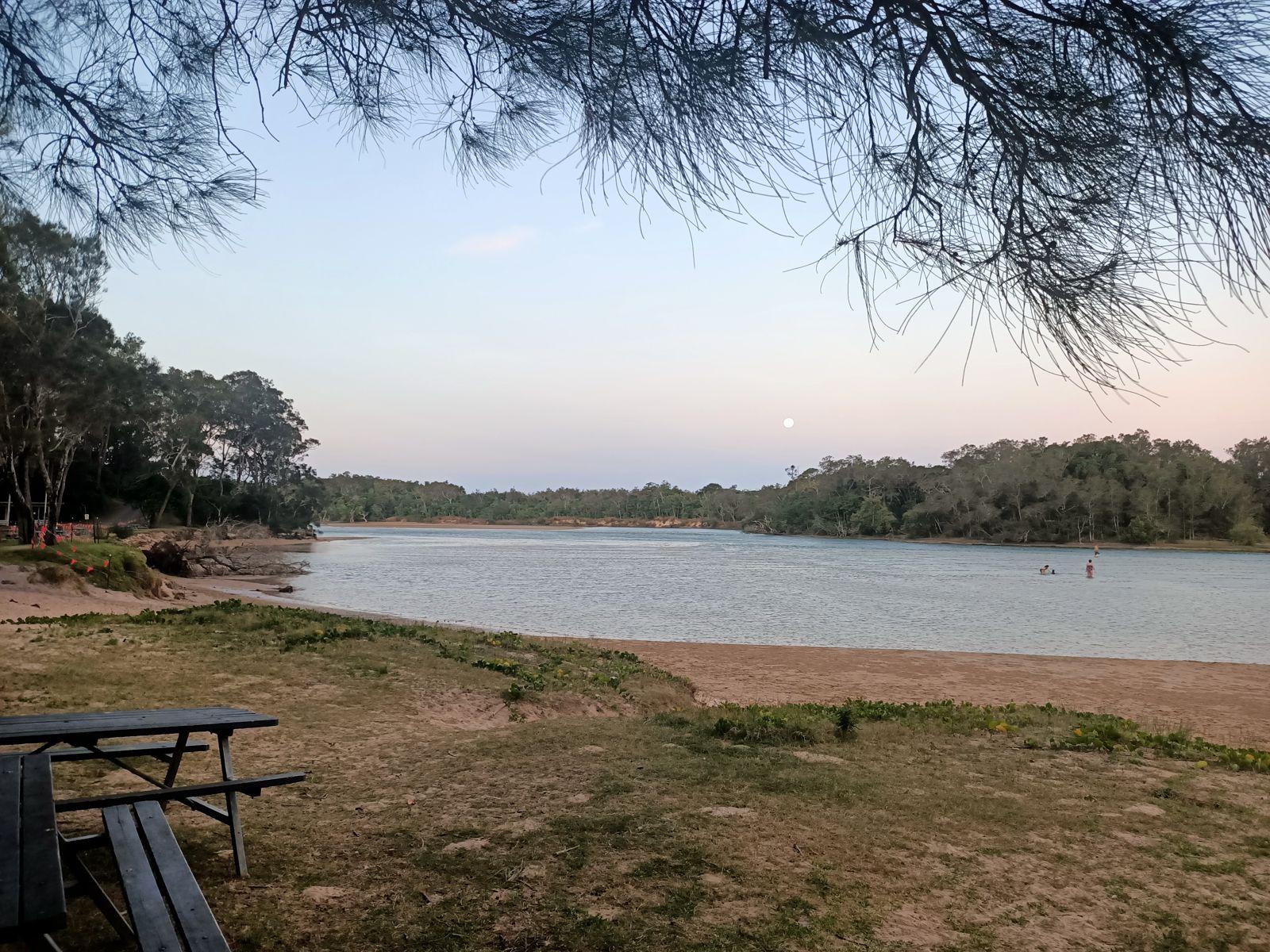 © JaredMcKenzie
The spot
Community-maintained
Community contribution: submitted by Daniel
Know before you go
Logged by the community, confirmed by mods
Moderate risk: Outgoing Tide Current
The outgoing tide can create a strong current that sweeps toward the open ocean beyond the railway bridge, making paddling and snorkeling back upstream difficult.
Moderate risk: Unpatrolled Beach
Boambee Beach and the creek mouth area are not patrolled by lifeguards; no flags or rescue services are available.
Low risk: Creek Mouth Ocean Swells
At the junction where Boambee Creek meets the sea, ocean swells and wave action can create hazardous conditions for swimmers and snorkelers.
Low risk: Boat Traffic
Small boats and kayaks use the creek, especially near the boat ramp at Sawtell Road bridge; be mindful of vessel traffic in narrow sections.
Low risk: Unpatrolled Waterway
No lifeguard patrols. Boambee Beach nearby is also unpatrolled.
Low risk: Submerged Snags
Mangrove roots and submerged branches along the narrower upper reaches may pose snagging hazards for swimmers.
Low risk: Bluebottle jellyfish (stingers)
Bluebottle jellyfish may appear seasonally along the coast and in the creek entrance during warmer months.
Low risk: Boating traffic
Boat ramp and kayak traffic in the creek channel requires awareness when snorkeling near the deeper sections.
Wildlife Guide
No wildlife notes for this spot yet.
Gallery
5 photos from the community
Getting in
Shore entry
Entry
From Sawtell, drive north on Hogbin Drive and turn onto Sawtell Road. Boambee Creek Reserve is at 20 Sawtell Road, Toormina. The reserve is about 5 minutes north of Sawtell and 10 minutes south of Coffs Harbour.
Parking & facilities
Car park available at Boambee Creek Reserve off Sawtell Road. A nominal fee applies for parking in the reserve. Additional parking is available near the Hogbin Drive bridge and at the Sawtell Road boat ramp.
toiletsshowerspicnic_tablesparkingdrinking_water
Nominal parking fee at Boambee Creek Reserve. No entry fee for the reserve itself.
Spot Map
Community
Gallery ┬╖ 5 photos
Trust
Is this spot real, accurate, still loved?
Spots near New South Wales

No nearby spots yet.
Needs verification
Quick verify
One tap helps the community keep this spot honest.
About this data
- Conditions last evaluated
- Spot data last updated
- Data sources
- Open-Meteo (marine & weather conditions), tide predictions via UTide, community contributors (descriptions, hazards, marine life).
- License
- Spot content licensed under CC BY-SA 4.0. How's the Spot is open source.
Weather & swell ┬╖ Open-Meteo marine & weather APIs Tides ┬╖ UTide harmonic analysis Sea & safety ┬╖ community reports