Blowhole Creek meets the Tasman Sea at the northern end of Pirates Bay, just below Eaglehawk Neck's famous Blowhole lookout. This sheltered shoreline offers access to the cool, temperate waters of the Tasman Peninsula. Snorkelers can explore the rocky reef edges where the creek outflow meets the bay, with views of the towering dolerite sea cliffs. The site is known for its dramatic coastal geology and relatively calm inshore waters, though conditions vary quickly with swell and tide.
Blowhole Creek (Pirates Bay)
AdvancedGO
GO
It's a go.
Showing last known conditions
Wave Height 0.2 mSwell Period 12 sWind Speed 9.1 knPrecipitation 1.8 mmTidal Phase slack
Last evaluated
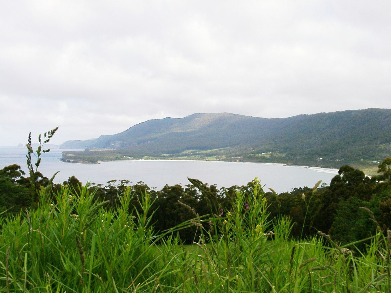 © Anne-Marie Steenbergen
DANGER: Explicit Risks Present
Blowhole Creek (Pirates Bay) has hazards marked as danger. Entering the water here means you may face serious risks to your personal safety.
- Sudden swell and surging waves danger
The Tasman Sea can produce powerful and unpredictable surges that crash against the rocky shoreline near the Blowhole. Dangerous even from the water's edge.
The spot
Community-maintained
Community contribution: submitted by Daniel
Know before you go
Logged by the community, confirmed by mods
High risk: Sudden swell and surging waves
The Tasman Sea can produce powerful and unpredictable surges that crash against the rocky shoreline near the Blowhole. Dangerous even from the water's edge.
Moderate risk: Tidal currents
Strong tidal flows can develop around the rocky reef and creek mouth area, especially during outgoing tides.
Low risk: Cold water temperature
Cold temperate waters typical of southern Tasmania; year-round low temperatures increase hypothermia risk during extended snorkeling.
Wildlife Guide
No wildlife notes for this spot yet.
Gallery
3 photos from the community
Getting in
Shore entry
Entry
Located at Eaglehawk Neck on the Tasman Peninsula. Drive from Hobart via Arthur Highway (A9) to Eaglehawk Neck, then follow signs to the Blowhole lookout, where a walking trail leads down onto Pirates Bay Beach alongside Blowhole Creek.
Parking & facilities
Parking available at the Blowhole/Tasman Arch car park on Blowhole Road, Eaglehawk Neck.
Tasman National Park entry fees apply
Spot Map
Community
Gallery ┬╖ 3 photos
Trust
Is this spot real, accurate, still loved?
Spots near Tasmania

No nearby spots yet.
Needs verification
Quick verify
One tap helps the community keep this spot honest.
About this data
- Conditions last evaluated
- Spot data last updated
- Data sources
- Open-Meteo (marine & weather conditions), tide predictions via UTide, community contributors (descriptions, hazards, marine life).
- License
- Spot content licensed under CC BY-SA 4.0. How's the Spot is open source.
Weather & swell ┬╖ Open-Meteo marine & weather APIs Tides ┬╖ UTide harmonic analysis Sea & safety ┬╖ community reports