Nestled within the Great Otway National Park, Blanket Bay is a sheltered crescent beach backed by lush forested rises on Victoria's rugged Shipwreck Coast. An intertidal reef calms the Southern Ocean swell, creating a protected pocket for snorkelers to explore rocky reef gardens just offshore. The bay stretches about 200 metres, with crystal-clear shallow waters over sandstone and boulder formations teeming with curiosity. Its remote location, about 10 km from Cape Otway Lighthouse and 30 minutes from Apollo Bay, offers a wild and tranquil escape far from the crowds.
Blanket Bay
IntermediateMAYBE
MAYBE
Fair. Experienced snorkellers only.
Showing last known conditions
Wave Height 0.4 mSwell Period 12 sWind Speed 15 knPrecipitation 17 mmTidal Phase flood
Last evaluated
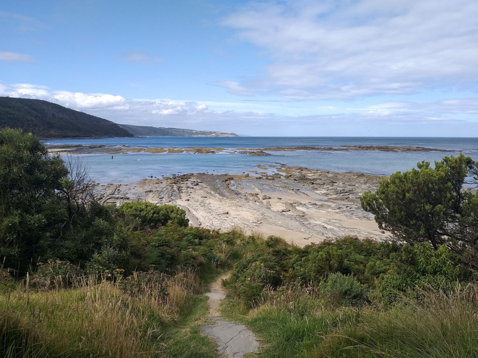 © Tonygrgurevic
The spot
Community-maintained
Community contribution: submitted by Daniel
Know before you go
Logged by the community, confirmed by mods
Moderate risk: Rough Southern Ocean Swell
Exposed to Southern Ocean swells; conditions can deteriorate rapidly with large waves and strong surge, especially outside the sheltered inner bay.
Moderate risk: Strong Rip Currents
Rip currents can form along the beach, particularly during larger swell events, posing a risk to inexperienced swimmers and snorkelers.
Low risk: Rocky Bottom Entry
The beach has a rocky bottom with boulders and reef rather than sand, requiring care when entering and exiting the water, especially with fins.
Low risk: March Flies
Aggressive March flies (horse flies) are prevalent in warmer months, particularly around the beach and campground, and can be a persistent nuisance.
Wildlife Guide
No wildlife notes for this spot yet.
Gallery
1 photo from the community
Getting in
Shore entry
Entry
From Apollo Bay, drive south along the Great Ocean Road (B100) for approximately 30 minutes. Turn onto Blanket Bay Road (signposted) and follow the unsealed road for about 3 km to the car park and campground at the bay.
Parking & facilities
Unsealed car park at Blanket Bay Campground, suitable for cars and small campervans. Parking is free for day visitors.
toiletsparkingpicnic_tablesdrinking_water
No day-use fee. Camping fees apply for overnight stays at the Blanket Bay Campground.
Spot Map
Community
Gallery ┬╖ 1 photos
Trust
Is this spot real, accurate, still loved?
Spots near Victoria

No nearby spots yet.
Needs verification
Quick verify
One tap helps the community keep this spot honest.
About this data
- Conditions last evaluated
- Spot data last updated
- Data sources
- Open-Meteo (marine & weather conditions), tide predictions via UTide, community contributors (descriptions, hazards, marine life).
- License
- Spot content licensed under CC BY-SA 4.0. How's the Spot is open source.
Weather & swell ┬╖ Open-Meteo marine & weather APIs Tides ┬╖ UTide harmonic analysis Sea & safety ┬╖ community reports