Bridgewater Bay (also known as Blairgowrie Ocean Beach) is a wild, windswept stretch of the Mornington Peninsula's Bass Strait coastline. The main draw for snorkelers is a deep natural rock pool at the eastern end of the bay — carved from sandstone cliffs and submerged at high tide. At low tide, the pool reveals crystal-clear water up to several metres deep, surrounded by thick kelp clinging to vertical rock walls. Beyond the rock pool, extensive rock shelves teem with life in shallow tidepools, making this a unique and dramatic snorkeling destination when the tide is right.
Blairgowrie Ocean Beach / Bridgewater Bay
IntermediateMAYBE
MAYBE
Fair. Experienced snorkellers only.
Showing last known conditions
Wave Height 0.8 mSwell Period 12 sWind Speed 2.4 knPrecipitation 26 mmTidal Phase flood
Last evaluated
DANGER: Explicit Risks Present
Blairgowrie Ocean Beach / Bridgewater Bay has hazards marked as danger. Entering the water here means you may face serious risks to your personal safety.
- Strong tidal currents in rock channels danger
Narrow channels through the rock shelf create strong, dangerous currents when the tide moves.
- Strong Currents in Channels danger
Narrow channels through the rock shelf create strong currents when swimming outside the rock pool and outside of low tide.
The spot
Community-maintained
Community contribution: submitted by Daniel
Know before you go
Logged by the community, confirmed by mods
High risk: Strong tidal currents in rock channels
Narrow channels through the rock shelf create strong, dangerous currents when the tide moves.
High risk: Strong Currents in Channels
Narrow channels through the rock shelf create strong currents when swimming outside the rock pool and outside of low tide.
Moderate risk: Tide-dependent access (pool submerged at high tide)
The rock pool and rock shelf are only accessible at low tide; at high tide the entire area is submerged and dangerous.
Moderate risk: Cliff jumpers landing in the pool
Popular cliff-jumping spot with 3, 6 and 8 metre jumps into the rock pool — risk of collision with swimmers and snorkelers.
Moderate risk: Low Tide Only Access
The rock pool is submerged and inaccessible at high tide. Only safe to snorkel and jump during low tide windows.
Moderate risk: Crumbly Sandstone Cliffs
Sandstone cliffs near the jump ledges can be unstable and crumbly near the edge.
Moderate risk: Jumpers From Above
Popular cliff jumping means snorkelers may be landed on by jumpers. Constant awareness of activity above is essential. Peak summer season.
Low risk: Unstable sandstone cliffs
Sandstone cliffs near the edge can be crumbly and unstable.
Low risk: Thick kelp along rock wall
Thick kelp on the western edge of the pool clings to a sheer vertical rock wall; can be disorienting.
Low risk: Kelp Forest Entanglement
Thick kelp clings to the sheer vertical rock wall on the western edge of the pool, extending to unknown depths.
Wildlife Guide
No wildlife notes for this spot yet.
Gallery
4 photos from the community
Getting in
Shore entry
Entry
Located in Mornington Peninsula National Park, 100 km south of Melbourne CBD. Take the M11 Mornington Peninsula Freeway to the end, then head to Blairgowrie via Browns Road/Melbourne Road or Nepean Hwy. Park at the southern end of St Johns Wood Road, then walk 150 m down steps to the beach and another 300 m across the rock shelf at low tide.
Parking & facilities
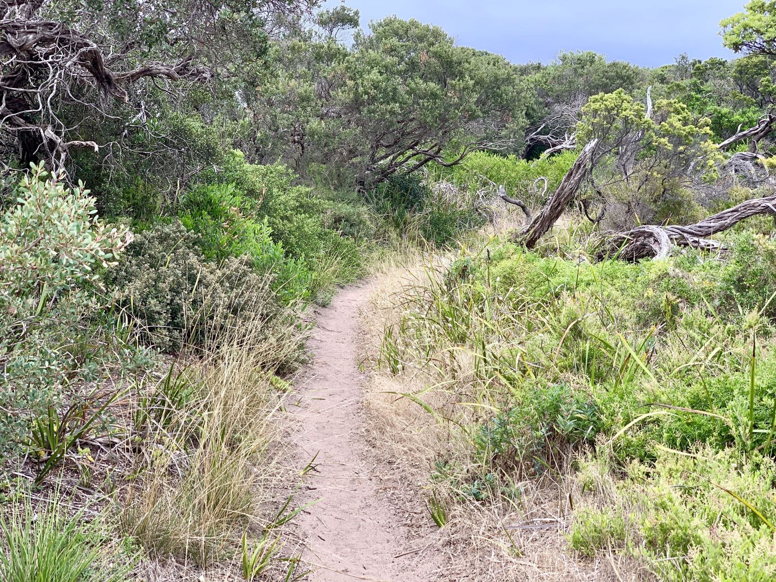
Small car park at the southern end of St Johns Wood Road with tight turning circle. Arrive early on the receding tide to avoid parking chaos; no parking along no-standing signs. Alternatively park further away and walk via bush tracks through the dunes.
None
Spot Map
Community
Gallery ┬╖ 4 photos
Trust
Is this spot real, accurate, still loved?
Spots near Victoria

No nearby spots yet.
Needs verification
Quick verify
One tap helps the community keep this spot honest.
About this data
- Conditions last evaluated
- Spot data last updated
- Data sources
- Open-Meteo (marine & weather conditions), tide predictions via UTide, community contributors (descriptions, hazards, marine life).
- License
- Spot content licensed under CC BY-SA 4.0. How's the Spot is open source.
Weather & swell ┬╖ Open-Meteo marine & weather APIs Tides ┬╖ UTide harmonic analysis Sea & safety ┬╖ community reports