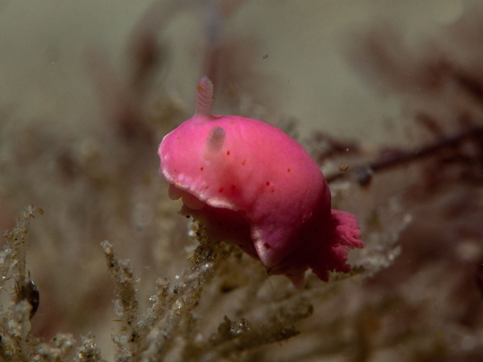
Blairgowrie Pier, run by the Blairgowrie Yacht Squadron (BYS), is widely regarded as one of the best temperate pier dives in the world — and snorkellers get a front-row seat to the action. Beneath the 280-metre working pier lies a kaleidoscopic underwater garden of vibrant sponges, bryozoans, and ascidians that coat every pylon, crossbeam, and breakwater wall. The marina's nutrient-rich flow through Port Phillip Heads sustains an extraordinary density of marine life. Hundreds of colourful nudibranch species, seahorses, pipefish, and octopus hide among the growth, while from May to June thousands of giant spider crabs swarm the sandy floor in a spectacular moulting aggregation. Sheltered by a wave-screen breakwater, the site offers both shallow protected areas for beginners and a maze of pylons and low beams for adventurous snorkellers to explore.
Blairgowrie Marina / Blairgowrie Yacht Club
Fair. Experienced snorkellers only.
Showing last known conditions
Last evaluated
The spot
Community-maintained
Community contribution: submitted by Daniel
Know before you go
Logged by the community, confirmed by mods
Moderate risk: Pier Pylons & Low Crossbeams
Many submerged beams and pylons require constant awareness to avoid bumping into, especially on higher tides when you must duck-dive frequently.
Moderate risk: Boat Traffic
Active working marina with boats constantly coming and going — stay vigilant near the surface.
Moderate risk: Low crossbeams and pylons
The underside of the pier has many low beams and pylons that snorkellers must duck under or navigate around, especially at high tide.
Moderate risk: Pier pylons and low crossbeams
Numerous submerged pylons and low beams require frequent ducking, especially at high tide. Snorkellers must stay aware of overhead structures to avoid head injury.
Moderate risk: Boat and marina traffic
Blairgowrie is a working marina with boat movements, refuelling operations, and moored vessels. Snorkellers must stay clear of boat channels and be visible.
Moderate risk: Low beams and pylons
Many low crossbeams beneath the pier and along the breakwater. Snorkellers risk head injury if surfacing suddenly. Avoid high tides.
Moderate risk: Low crossbeams & pylons
Many low-lying wooden beams and pylons to navigate around; risk of head injury on high tide.
Moderate risk: Boat traffic at marina entrance
The pier also serves Blairgowrie Yacht Squadron's marina — watch for vessels entering/exiting, especially around the diver pontoon.
Low risk: Cold Water
Even in summer, water temps sit around 17–20°C; cold can affect stamina and safety for extended snorkels.
Low risk: Marina Fuel Odour
The busy marina environment can leave a diesel fuel taste/smell in the water, which may cause nausea.
Low risk: Tidal Current
Currents can develop at tide changes; best snorkelled at slack tide to avoid being swept around pylons.
Low risk: Fuel residue
As a busy marina with hundreds of moored boats, a faint fuel sheen or taste in the water is occasionally reported, which may cause nausea in sensitive individuals.
Low risk: Outgoing tide current
Currents can develop along the breakwater, particularly on an outgoing tide. Best to snorkel at or near tide change for calm conditions.
Low risk: Cold water temperatures
Water temperature ranges 17–22 °C year-round. Even in summer a wetsuit is recommended; outside summer months water is significantly colder.
Low risk: Strong tidal currents
Currents can develop at the change of tide, particularly around the breakwater and outer wave wall. Best visited at slack tide.
Low risk: Cold water temperature
Water temperatures range 17–22°C even in summer. Extended snorkel sessions risk cold stress without appropriate wetsuit protection.
Low risk: Fuel residue in marina
As a busy marina with boat refuelling, traces of fuel can sometimes be smelled/tasted in the water, causing nausea for some swimmers.
Low risk: Fuel residue in water
As an active marina, diesel/petrol sheen can be present on the water's surface, causing nausea for some snorkellers.
Low risk: Fishing line and hook entanglement
Popular fishing pier with anglers overhead — discarded line and hooks can pose a snagging hazard to snorkellers near the pylons.
Low risk: Strong northerly winds
When northerly winds pick up, conditions on the bay-facing pier can become choppy, reducing visibility and making entry/exit trickier.
Low risk: Spider crab migration crowds
During the annual Giant Spider Crab aggregation (May–June), snorkellers may find limited personal space as the event draws many visitors to the pier.
Low risk: Marina fuel residue
Possible diesel/petrol taste or smell in the water from refuelling activity in the marina basin.
Wildlife Guide
No wildlife notes for this spot yet.
Gallery
7 photos from the community
Getting in
Located 75–90 minutes south of Melbourne on the Mornington Peninsula at 2900 Point Nepean Road, Blairgowrie VIC 3942. From Melbourne, take the M1 to the Mornington Peninsula Freeway, then follow signs to Blairgowrie via Point Nepean Road. The pier is between Rye and Sorrento.
Two parking areas available. Upper carpark off Point Nepean Road (just past the turnoff to the lower carpark) with a short 50–60 metre walk down wooden stairs to the pier. Lower carpark fills quickly on weekends and holidays. No parking fees apply at the Shire-managed boat ramp area.
No entry or parking fees at the Shire-managed boat ramp area.
Spot Map
Community
Trust
Is this spot real, accurate, still loved?
Spots near Victoria

No nearby spots yet.
Quick verify
One tap helps the community keep this spot honest.
About this data
- Conditions last evaluated
- Spot data last updated
- Data sources
- Open-Meteo (marine & weather conditions), tide predictions via UTide, community contributors (descriptions, hazards, marine life).
- License
- Spot content licensed under CC BY-SA 4.0. How's the Spot is open source.