Blackmans Lagoon Beach, tucked within the Waterhouse Conservation Area on Tasmania's north-east coast, is a shallow, sheltered lagoon system fed by permanent deep-water lagoons and feeder creeks. The protected waters create a calm, clear environment ideal for beginner snorkelers. Surrounded by coastal heath, marram grass dunes, and a pine forest backdrop, this remote beach offers a tranquil escape. The lagoon is also a critical habitat for the green and golden frog, adding a unique wildlife dimension to your visit. Access requires a 4WD from the dirt road off the B82 northeast of Bridport.
Blackmans Lagoon Beach
BeginnerGO
GO
It's a go.
Showing last known conditions
Wave Height 0.1 mSwell Period 4.9 sWind Speed 9.5 knPrecipitation 7.6 mmTidal Phase flood
Last evaluated
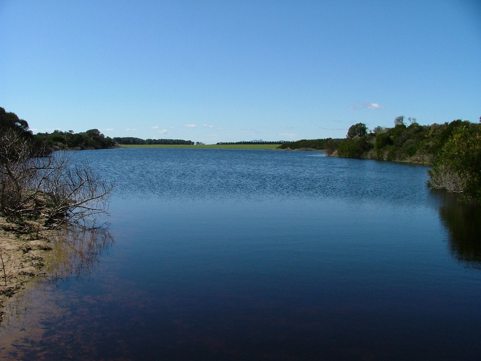 © Tim b (Wildroo)
The spot
Community-maintained
Community contribution: submitted by Daniel
Know before you go
Logged by the community, confirmed by mods
Low risk: Cold Water Temperature
Tasmanian coastal waters are cold year-round, typically 10–17°C, posing a risk of cold shock and hypothermia without proper wetsuit protection.
Low risk: Shallow Depth Variability
The lagoon is shallow and can have variable depths with soft muddy substrate, increasing the risk of stirring up sediment and reducing visibility.
Low risk: Remote Access
Located 25 km east of Bridport via unsealed roads; limited mobile reception and services, requiring self-sufficiency.
Low risk: 4WD access required
The beach is accessed via a 2.5 km unsealed dirt road from the B82; a well-equipped 4WD is recommended, especially after wet weather.
Low risk: Variable water clarity
The lagoon's shallow depth and wind exposure can stir up sediment, reducing visibility at times.
Wildlife Guide
No wildlife notes for this spot yet.
Gallery
2 photos from the community
Getting in
Shore entry
Entry
Located 26 km northeast of Bridport. Turn off the B82 (24 km NE of Bridport) onto a dirt track and travel approximately 2.5 km to reach the lagoon. A 4WD vehicle is recommended.
Parking & facilities
Unsealed parking area near the lagoon campsite. Suitable for small vehicles and campervans with 4WD.
toiletsparking
Free entry. No fees required.
Spot Map
Community
Gallery ┬╖ 2 photos
Trust
Is this spot real, accurate, still loved?
Spots near Tasmania

No nearby spots yet.
Needs verification
Quick verify
One tap helps the community keep this spot honest.
About this data
- Conditions last evaluated
- Spot data last updated
- Data sources
- Open-Meteo (marine & weather conditions), tide predictions via UTide, community contributors (descriptions, hazards, marine life).
- License
- Spot content licensed under CC BY-SA 4.0. How's the Spot is open source.
Weather & swell ┬╖ Open-Meteo marine & weather APIs Tides ┬╖ UTide harmonic analysis Sea & safety ┬╖ community reports