Black Rock is a prominent dark-hued rocky outcrop off Batehaven, within the Batemans Marine Park on the NSW South Coast. While unassuming from the surface, underwater it reveals a spectacular labyrinth of vertical walls, gutters, swim-throughs, and caves. The reef drops dramatically to 15–20 metres, with ledges carpeted in sponges, gorgonians, and colourful commensal zoanthids. A large cave under the rock shelters wobbegongs and Port Jackson sharks, while blue groper, eastern blue devilfish, and schooling pelagics patrol the walls. Drift-diving along the northern side to The Arch is a local classic, with crystal visibility on calm days.
Black Rock (Batemans Bay dive site)
IntermediateMAYBE
MAYBE
Fair. Experienced snorkellers only.
Showing last known conditions
Wave Height 0.0 mSwell Period 0.0 sWind Speed 0.3 knPrecipitation 35 mmTidal Phase slack
Last evaluated
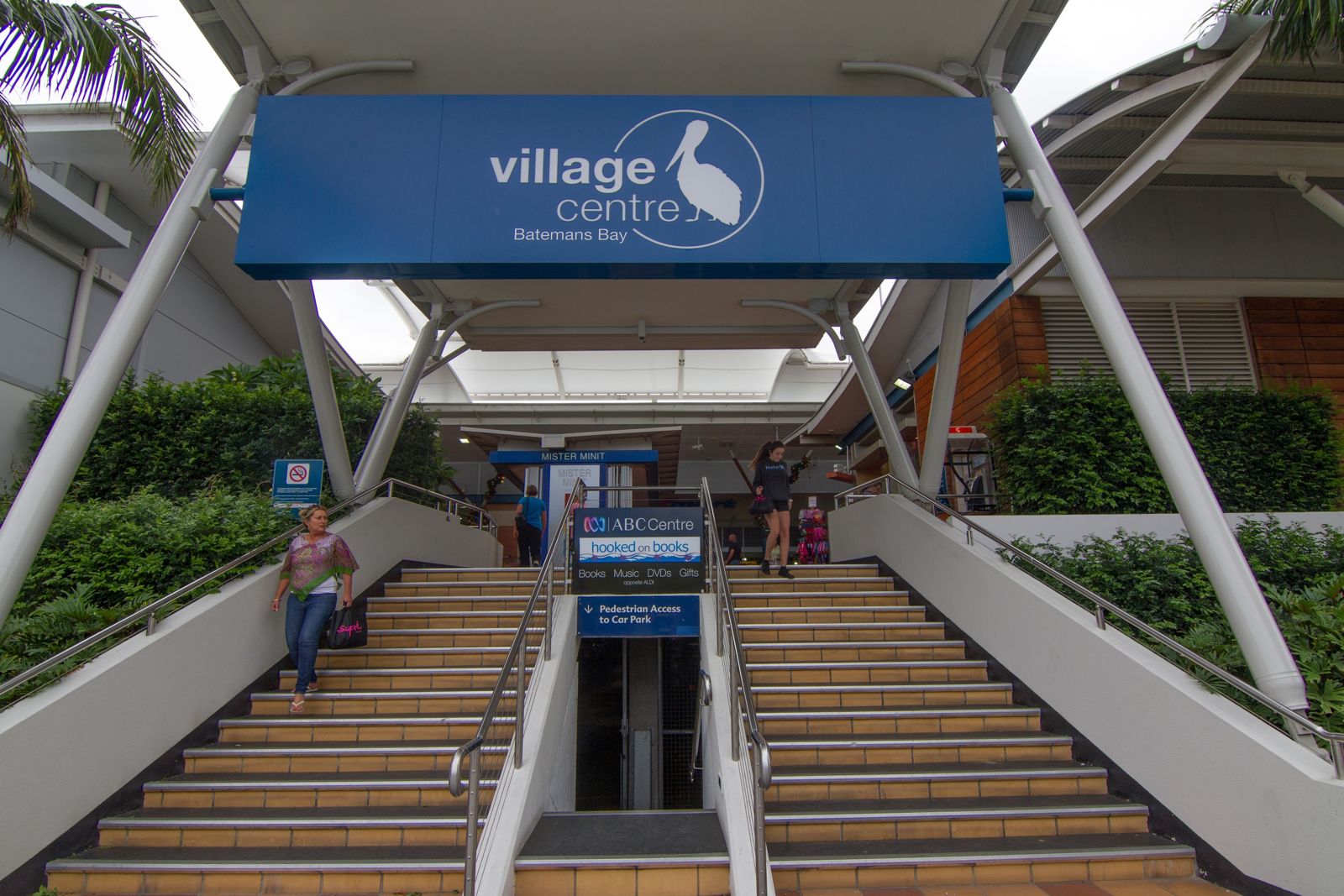 © Maksym Kozlenko
The spot
Community-maintained
Community contribution: submitted by Daniel
Know before you go
Logged by the community, confirmed by mods
Moderate risk: Ocean swells on exposed sections
Swells can create breaking waves over submerged rocky ridges, particularly at sites like Garden Bay and Pretty Point Bay during easterly winds.
Moderate risk: Jagged rock entry
Access to the Pot requires crossing jagged rocks which can be sharp and slippery; high tide is recommended for easier entry.
Moderate risk: Ocean swells
Exposed to ocean swells from the east; conditions can become unsafe quickly in easterly winds or rising swell.
Moderate risk: Boat traffic
Black Rock is a boat-accessed site near the Batemans Bay channel. Vessels may pass overhead — surface awareness and a dive flag are essential.
Moderate risk: Shallow caves and overhangs
A large cave under Black Rock houses wobbegong sharks and Port Jackson sharks. Entry can silt up easily and may present entanglement risk in confined spaces.
Low risk: Sharp rocks and urchins
Jagged rocky shorelines and abundant black-spined sea urchins in crevices require care when entering and exiting the water, especially at Guerilla Bay and Barlings Island.
Low risk: Strong currents and outgoing tides
Tidal movement through gutters and around headlands can create strong currents; the pot at Guerilla Bay and gutters in Mosquito Bay are affected.
Low risk: Tidal changes
The Pot is best snorkelled at high tide; at lower tides the water depth drops significantly and rock crossings become more hazardous.
Low risk: Outgoing tide current
A north-to-south current can develop on an outgoing tide, creating a drift-dive effect that may carry snorkellers away from the rock. Strongest during spring tides.
Low risk: Depth and vertical drop-offs
The reef drops steeply from the surface to 15–20 metres on the eastern and southern sides. Snorkellers should be confident in deep water and avoid sudden descents.
Wildlife Guide
No wildlife notes for this spot yet.
Gallery
2 photos from the community
Getting in
Boat
Entry
Black Rock lies off Batehaven, roughly 3 km south of Batemans Bay town centre. Launch from the boat ramp at Mosquito Bay (Corrigans Beach Reserve) or from the Clyde River ramps. The rock is a short 5–10 minute boat ride east from Mosquito Bay. By road, take the Princes Highway to Batemans Bay, turn onto Beach Road towards Batehaven, and follow to Corrigans Beach Reserve.
Parking & facilities
Parking available at Corrigans Beach Reserve / Mosquito Bay boat ramp carpark, off Beach Road, Batehaven.
parkingboat_ramp
No specific entry fee for the site. Batemans Marine Park is a sanctuary zone — check NSW fishing regulations. National park entry fees may apply if accessing via Murramarang NP.
Spot Map
Community
Gallery ┬╖ 2 photos
Trust
Is this spot real, accurate, still loved?
Spots near Victoria

No nearby spots yet.
Needs verification
Quick verify
One tap helps the community keep this spot honest.
About this data
- Conditions last evaluated
- Spot data last updated
- Data sources
- Open-Meteo (marine & weather conditions), tide predictions via UTide, community contributors (descriptions, hazards, marine life).
- License
- Spot content licensed under CC BY-SA 4.0. How's the Spot is open source.
Weather & swell ┬╖ Open-Meteo marine & weather APIs Tides ┬╖ UTide harmonic analysis Sea & safety ┬╖ community reports