Bermagui Beach — also known as Horseshoe Bay — is the main patrolled beach in this charming Sapphire Coast fishing town. Sheltered by rocky headlands on both sides, the calm northern aspect waters are ideal for shore-entry snorkelling, especially around the rock pools on the right side of the beach. The beach sits right off Lamont Street, the town's main strip, making it effortlessly accessible. On calm days, the clear waters reveal schools of small reef fish among the rocky ledges, while the headlands offer excellent views and whale-watching opportunities during migration season (Sep–Nov).
Bermagui Beach (Horseshoe Bay)
BeginnerGO
GO
It's a go.
Showing last known conditions
Wave Height 0.7 mSwell Period 6.8 sWind Speed 3.2 knPrecipitation 9.6 mmTidal Phase flood
Last evaluated
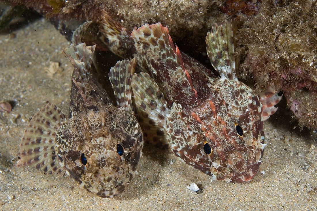 © Andrew J. Green
The spot
Community-maintained
Community contribution: submitted by Daniel
Know before you go
Logged by the community, confirmed by mods
Moderate risk: Rip currents
Can develop strong rips and sweep currents, especially during larger swells or southerly winds.
Low risk: Southerly wind swell
During strong southerly winds the beach loses its wind protection and conditions can become rougher.
Low risk: Rocky headlands
Rocks at the northern and southern ends of the bay can be slippery and hazardous in swell conditions.
Low risk: Swell on windy days
Snorkelling conditions deteriorate when northerly or easterly winds pick up, bringing waves and reduced visibility.
Low risk: Rocky ledges at southern end
The southern side near the headland has submerged rocks and barnacle-encrusted ledges that can cause cuts.
Wildlife Guide
No wildlife notes for this spot yet.
Gallery
1 photo from the community
Getting in
Shore entry
Entry
From the Princes Highway, turn into Bermagui via Wallaga Lake Road. Follow into town and turn onto Lamont Street. The beach runs parallel to Lamont Street with multiple access points. Approximately 5 hours drive south of Sydney, or 1 hour north of Merimbula Airport.
Parking & facilities
Street parking along Lamont Street and a dedicated car park area between the beach and the road. Additional parking is available on both headlands.
toiletsparkingshowerspicnic_tables
Free entry. No fees for snorkelling or beach access.
Spot Map
Community
Gallery ┬╖ 1 photos
Trust
Is this spot real, accurate, still loved?
Spots near Victoria

No nearby spots yet.
Needs verification
Quick verify
One tap helps the community keep this spot honest.
About this data
- Conditions last evaluated
- Spot data last updated
- Data sources
- Open-Meteo (marine & weather conditions), tide predictions via UTide, community contributors (descriptions, hazards, marine life).
- License
- Spot content licensed under CC BY-SA 4.0. How's the Spot is open source.
Weather & swell ┬╖ Open-Meteo marine & weather APIs Tides ┬╖ UTide harmonic analysis Sea & safety ┬╖ community reports