Stretching 2.5km north from Byron Bay's seawall to Belongil Creek, this uncrowded beach offers excellent snorkelling around the exposed rudder of the SS Wollongbar shipwreck — known locally as 'The Wreck'. The sandbar created by the wreck forms a shallow, fish-rich habitat that's perfect for exploration. Quieter than Main Beach, it's a favourite for long beach walks and spotting the endangered Little Tern at the estuary mouth.
Belongil Beach
BeginnerGO
GO
It's a go.
Showing last known conditions
Wave Height 0.2 mSwell Period 7.0 sWind Speed 11 knPrecipitation 0.0 mmTidal Phase flood
Last evaluated
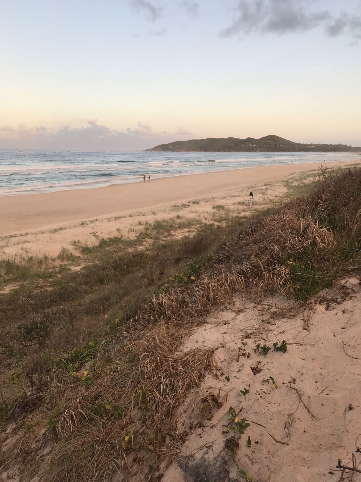 © Ningalooreef
The spot
Community-maintained
Community contribution: submitted by Daniel
Know before you go
Logged by the community, confirmed by mods
Moderate risk: Rip Currents
Unpatrolled sections of the beach can have strong rips. Swim only between the red and yellow flags when lifesavers are on duty (summer only, Dec-Apr).
Low risk: Shipwreck Structure
The exposed rudder of the SS Wollongbar is a metal wreck remnant. Snorkelers should avoid touching sharp or rusty edges.
Low risk: Sandbar Shifts
The sandbar around The Wreck changes constantly, creating variable depths and occasional shallow hazards.
Wildlife Guide
No wildlife notes for this spot yet.
Gallery
1 photo from the community
Getting in
Shore entry
Entry
From Byron Bay town centre, head north up Jonson Street to the beach access at the top of the street. The southern end of the beach starts at the seawall near the Main Beach car park.
Parking & facilities
Paid parking at the northern end of Main Beach car park ($4-5/hr, 4hr limit, 9am-6pm daily). Free roadside parking is available off Childe Street for those accessing the northern end of Belongil Beach.
toiletsparkingshowerspicnic_tables
Paid parking applies in the Main Beach car park. No entry fee to the beach itself.
Spot Map
Community
Gallery ┬╖ 1 photos
Trust
Is this spot real, accurate, still loved?
Spots near New South Wales

No nearby spots yet.
Needs verification
Quick verify
One tap helps the community keep this spot honest.
About this data
- Conditions last evaluated
- Spot data last updated
- Data sources
- Open-Meteo (marine & weather conditions), tide predictions via UTide, community contributors (descriptions, hazards, marine life).
- License
- Spot content licensed under CC BY-SA 4.0. How's the Spot is open source.
Weather & swell ┬╖ Open-Meteo marine & weather APIs Tides ┬╖ UTide harmonic analysis Sea & safety ┬╖ community reports