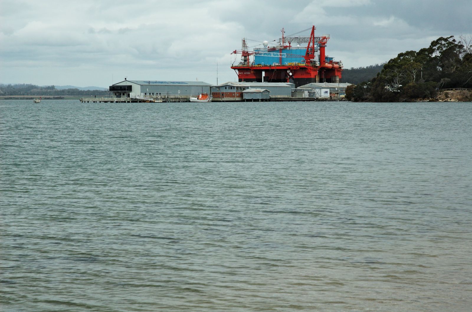
Beauty Point Wharf sits on kanamaluka / the Tamar River estuary, where fresh and saltwater mingle in sheltered, tannin-stained waters. The wharf's pylons and rocky shoreline create a rich habitat for seahorses, pipefish, and the elusive weedy seadragon — drawn to the abundant seagrass beds and sponges that thrive in these nutrient-rich tidal flows. The gentle current and calm conditions make this an accessible shore-entry spot for observing temperate Tasmanian marine life up close.
Beauty Point Wharf
BeginnerGO
GO
It's a go.
Showing last known conditions
Wave Height 0.4 mSwell Period 5.3 sWind Speed 0.4 knPrecipitation 17 mmTidal Phase flood
Last evaluated
The spot
Community-maintained
Community contribution: submitted by Daniel
Know before you go
Logged by the community, confirmed by mods
Low risk: Outgoing tide current
The Tamar estuary experiences significant tidal flow, especially around the wharf pylons, which can create strong currents on outgoing tides.
Low risk: Submerged pylons and structures
Wharf pylons and submerged structures are present directly below the waterline near the shore entry point.
Low risk: Cold water temperature
Tasmania's coastal waters can drop sharply in temperature year-round; prolonged immersion without adequate thermal protection poses cold-water risks.
Low risk: Variable visibility after rain
Water clarity in the estuary varies with rainfall and tidal stirring, occasionally reducing visibility significantly.
Wildlife Guide
No wildlife notes for this spot yet.
Gallery
3 photos from the community
Getting in
Shore entry
Entry
Beauty Point is a 45-minute drive (48 km) north-west of Launceston via the West Tamar Highway (A7). The wharf area is on Wharf Road, accessible from the town centre at Flinders Street.
Parking & facilities
Free parking available along the foreshore near Inspection Head Wharf, including spaces for RVs and EVs.
Spot Map
Community
Gallery ┬╖ 3 photos
Trust
Is this spot real, accurate, still loved?
Spots near Tasmania

No nearby spots yet.
Needs verification
Quick verify
One tap helps the community keep this spot honest.
About this data
- Conditions last evaluated
- Spot data last updated
- Data sources
- Open-Meteo (marine & weather conditions), tide predictions via UTide, community contributors (descriptions, hazards, marine life).
- License
- Spot content licensed under CC BY-SA 4.0. How's the Spot is open source.
Weather & swell ┬╖ Open-Meteo marine & weather APIs Tides ┬╖ UTide harmonic analysis Sea & safety ┬╖ community reports