Stretching 772 metres into the sheltered waters of Rivoli Bay, Beachport Jetty is the second-longest jetty in South Australia and a superb shore-entry snorkel spot. The jetty's timber pylons are encrusted with colourful marine growth, attracting schools of fish in crystal-clear, calm waters. Snorkellers can explore the shallows along the jetty's length, drifting past submerged reef structures and sandy patches while the fishing fleet bobs nearby. The adjacent Beachport Foreshore offers safe swimming and easy beach access, making this a perfect family-friendly snorkel location on the Limestone Coast.
Beachport Jetty
BeginnerSKIP
SKIP
Poor conditions. Stay out today.
Showing last known conditions
Wave Height 3.2 mSwell Period 9.8 sWind Speed 12 knPrecipitation 5.8 mmTidal Phase slack
Last evaluated
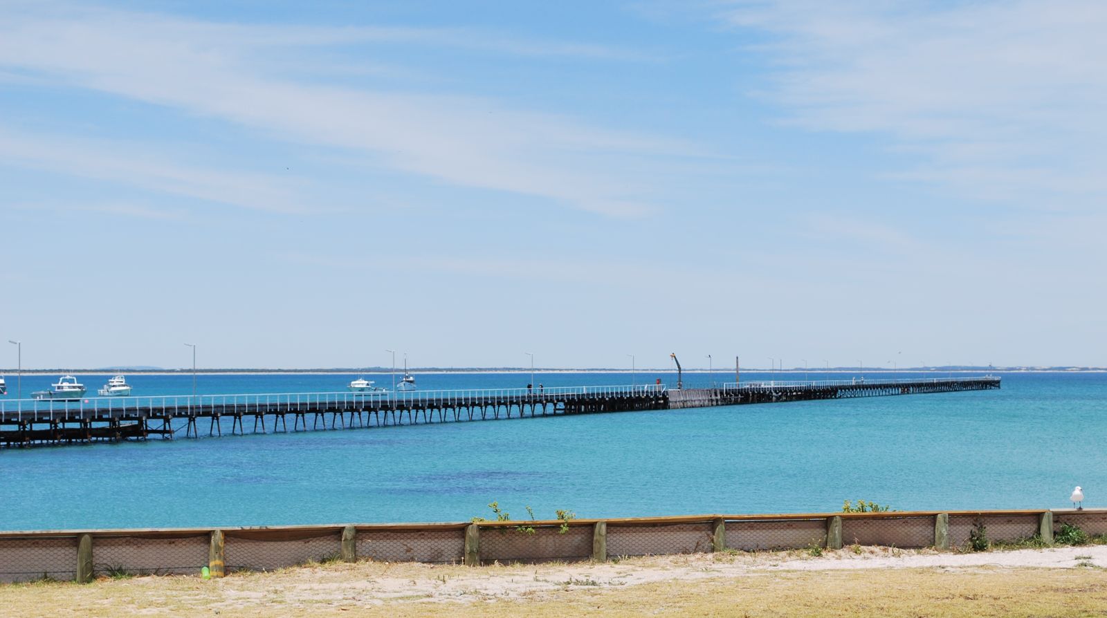
The spot
Community-maintained
Community contribution: submitted by Daniel
Know before you go
Logged by the community, confirmed by mods
Moderate risk: Fishing hooks and lines
The jetty is a popular fishing platform; submerged hooks, sinkers, and discarded line pose entanglement and injury risks to snorkellers.
Low risk: Boat traffic
Fishing and recreational boats operate around the jetty head. Snorkellers should stay aware of vessel movements and avoid the outer end when boats are active.
Low risk: Outgoing tide current
An outgoing tide can create a moderate current along the jetty structure, which may challenge weaker swimmers.
Wildlife Guide
No wildlife notes for this spot yet.
Gallery
1 photo from the community
Getting in
Shore entry
Entry
Beachport Jetty is located off Beach Road, Beachport SA 5280. From Mount Gambier, head north-west on the Riddoch Highway for ~1 hour, then follow signs to Beachport. From Robe, drive south along the Southern Ports Highway for ~30 minutes.
Parking & facilities
Free carparking is available along Beach Road and at the Beachport Foreshore adjacent to the jetty, including spaces for caravans and coaches.
parkingtoiletspicnic_tables
Free entry to the jetty and foreshore.
Spot Map
Community
Gallery ┬╖ 1 photos
Trust
Is this spot real, accurate, still loved?
Spots near South Australia

No nearby spots yet.
Needs verification
Quick verify
One tap helps the community keep this spot honest.
About this data
- Conditions last evaluated
- Spot data last updated
- Data sources
- Open-Meteo (marine & weather conditions), tide predictions via UTide, community contributors (descriptions, hazards, marine life).
- License
- Spot content licensed under CC BY-SA 4.0. How's the Spot is open source.
Weather & swell ┬╖ Open-Meteo marine & weather APIs Tides ┬╖ UTide harmonic analysis Sea & safety ┬╖ community reports