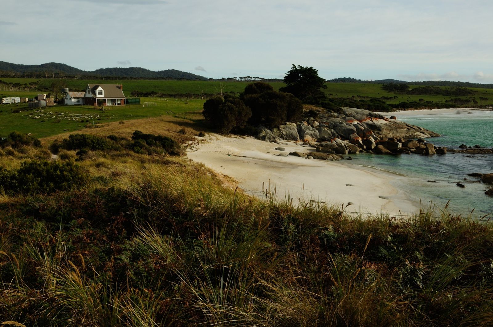
Stretching along Tasmania's dazzling northeast coast, the Bay of Fires Conservation Area is renowned for its fiery orange granite boulders, powder-white sands, and impossibly clear turquoise waters. The sheltered coves and rocky headlands — especially at Seatons Cove and around Binalong Bay — offer easy shore-based access to vibrant kelp forests, rocky reefs, and underwater rock formations teeming with marine life. Calm, transparent conditions make it ideal for beginner and intermediate snorkelers to glide over colourful reef gardens and explore shallow caves and drop-offs just metres from the beach.
Bay of Fires Conservation Area
BeginnerGO
GO
It's a go.
Showing last known conditions
Wave Height 0.3 mSwell Period 7.8 sWind Speed 9.9 knPrecipitation 3.0 mmTidal Phase flood
Last evaluated
 © Jogsia
The spot
Community-maintained
Community contribution: submitted by Daniel
Know before you go
Logged by the community, confirmed by mods
Moderate risk: Rip currents
Beaches have steep drop-offs into deep water and are subject to strong rip currents, particularly on open beaches.
Moderate risk: Swell and surge on exposed reefs
Offshore reefs are exposed to Southern Ocean swell, with surge conditions that can push snorkelers against rocks. Calmest in summer but swell can arrive year-round.
Moderate risk: Strong currents and tidal flow
Tidal currents flow through channels between offshore reefs and headlands, capable of sweeping snorkelers offshore. Spring tides produce the strongest flow.
Low risk: Swell and surge on exposed points
Seatons Cove is usually calm, but exposed headlands like Skeleton Point or Sloop Reef can experience sudden swell and surge, especially with easterly winds.
Low risk: Rocks and underwater reef hazards
Granite boulders and submerged reef structures are common close to shore; sharp edges and shallow reef platforms require care when entering and exiting.
Low risk: Cold water temperatures
Tasmanian waters are cold year-round (12-18°C); prolonged exposure can cause rapid fatigue and hypothermia without a wetsuit.
Low risk: Steep drop-offs
Sudden depth changes close to shore can surprise inexperienced swimmers and snorkellers.
Low risk: Swell and surf
Exposed areas can experience moderate to heavy swell, reducing water clarity and creating challenging conditions.
Low risk: Remote location
Limited facilities and mobile reception in parts of the conservation area; visitors need to be self-sufficient.
Low risk: Cold water temperature
Tasmanian waters are temperate — summer sea temps typically 14–18°C. Extended exposure without a wetsuit risks hypothermia. Full wetsuit (5mm+) recommended.
Wildlife Guide
No wildlife notes for this spot yet.
Gallery
4 photos from the community
Getting in
Shore entry
Entry
From St Helens, take Binalong Bay Road (C850) north to Binalong Bay. Continue past the town to reach Seatons Cove and northern beaches. From the north, access via Ansons Bay Road (C843) from St Helens, or via Bridport/Scottsdale using unsealed back roads from Gladstone.
Parking & facilities
Dirt parking lots are available at Binalong Bay, Seatons Cove, and various beach access points. The Gardens has a small dirt lot. Arrive early in peak season to secure a spot.
toiletsparking
No entry fee for the conservation area. Camping fees apply at designated campgrounds.
Spot Map
Community
Gallery ┬╖ 4 photos
Trust
Is this spot real, accurate, still loved?
Spots near Tasmania

No nearby spots yet.
Needs verification
Quick verify
One tap helps the community keep this spot honest.
About this data
- Conditions last evaluated
- Spot data last updated
- Data sources
- Open-Meteo (marine & weather conditions), tide predictions via UTide, community contributors (descriptions, hazards, marine life).
- License
- Spot content licensed under CC BY-SA 4.0. How's the Spot is open source.
Weather & swell ┬╖ Open-Meteo marine & weather APIs Tides ┬╖ UTide harmonic analysis Sea & safety ┬╖ community reports