Stretching from Binalong Bay to Eddystone Point along Tasmania's sun-drenched northeast coast, the Bay of Fires (Larapuna) is a snorkeler's paradise of dazzling white-sand beaches, translucent turquoise waters, and iconic orange-hued granite boulders. The easiest and most rewarding snorkelling is at Seatons Cove, where calm, crystal-clear waters grant instant shore access to rock reefs, underwater caves, and swaying kelp forests teeming with marine life. The area forms part of the Bay of Fires Conservation Area, known for its scenic reefs and abundant sea life.
Bay of Fires
BeginnerGO
GO
It's a go.
Showing last known conditions
Wave Height 0.5 mSwell Period 7.8 sWind Speed 2.1 knPrecipitation 3.7 mmTidal Phase slack
Last evaluated
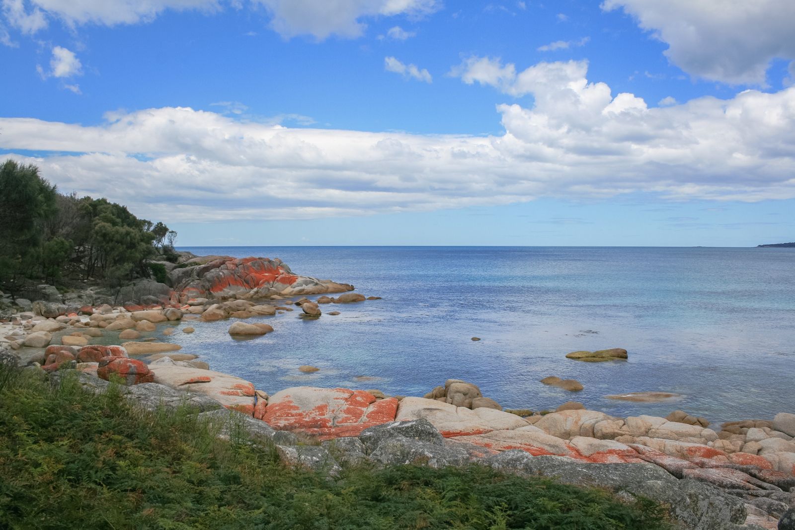 © Diego Delso
The spot
Community-maintained
Community contribution: submitted by Daniel
Know before you go
Logged by the community, confirmed by mods
Low risk: Swell and ocean surge
Exposed points can experience sudden swell and ocean surge, making conditions challenging on windier days.
Low risk: Rocky reef edges
Sharp granite boulders and reef edges near shore require care when entering and exiting the water, especially at low tide.
Low risk: Changing tides
Tidal movement can create currents around the points and reef systems; check local tide tables before entering.
Low risk: Cold water temperatures
Tasmanian sea temperatures can be cool year-round (12–18°C), increasing the risk of cold shock without proper wetsuit protection.
Wildlife Guide
No wildlife notes for this spot yet.
Gallery
3 photos from the community
Getting in
Shore entry
Entry
The Bay of Fires is approximately 2.5 hours north-east of Launceston via the Tasman Highway (A3). The primary access town is St Helens, from which you follow Binalong Bay Road east for 15 minutes to reach Binalong Bay and the southern end of the bay. Seatons Cove is accessed via Seatons Road off Binalong Bay Road – follow it to the end where there is a parking turn-around.
Parking & facilities
Limited roadside parking at Seatons Cove (turn-around at the end of Seatons Road). Additional parking available at Binalong Bay township and Skeleton Bay Road trailhead.
toiletsparkingpicnic_tables
No entry fee for the Bay of Fires Conservation Area. Camping fees apply at designated campsites within the conservation area.
Spot Map
Community
Gallery ┬╖ 3 photos
Trust
Is this spot real, accurate, still loved?
Spots near Tasmania

No nearby spots yet.
Needs verification
Quick verify
One tap helps the community keep this spot honest.
About this data
- Conditions last evaluated
- Spot data last updated
- Data sources
- Open-Meteo (marine & weather conditions), tide predictions via UTide, community contributors (descriptions, hazards, marine life).
- License
- Spot content licensed under CC BY-SA 4.0. How's the Spot is open source.
Weather & swell ┬╖ Open-Meteo marine & weather APIs Tides ┬╖ UTide harmonic analysis Sea & safety ┬╖ community reports