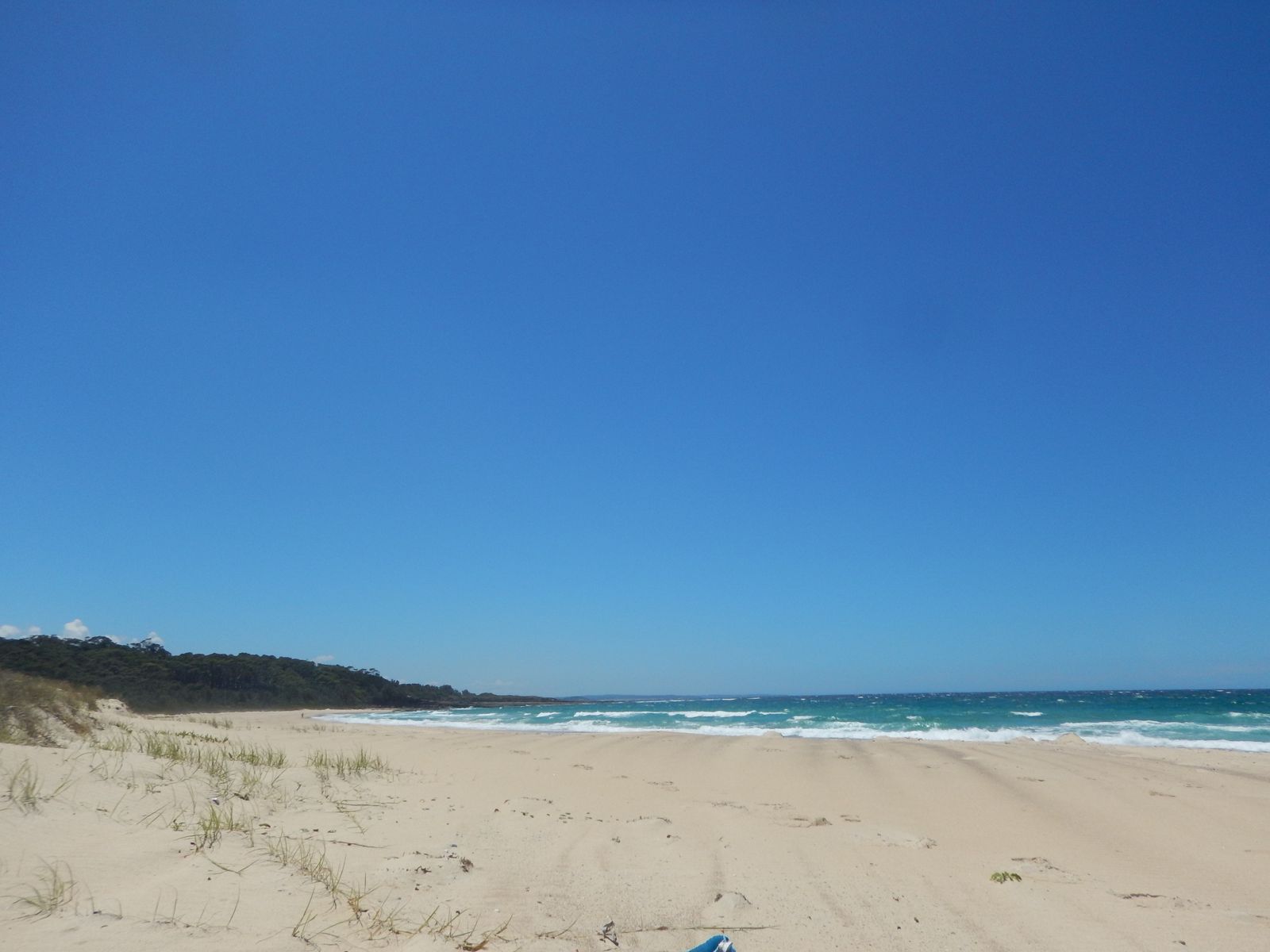
Bawley Point is a serene coastal village on the NSW South Coast, nestled between Meroo and Murramarang National Parks. Its sheltered main beach offers excellent shore-entry snorkelling in calm conditions, with a historic jetty/gantry providing a popular jumping-off point. Gannet Beach, just south of Juwin Head, and nearby Whiting Beach also offer great snorkelling and swimming spots amidst stunning coastal scenery. The clear inshore waters around the rocky headlands and sandy bays are perfect for exploring temperate marine life.
Bawley Point
BeginnerMAYBE
MAYBE
Fair. Experienced snorkellers only.
Showing last known conditions
Wave Height 0.7 mSwell Period 6.8 sWind Speed 9.2 knPrecipitation 21 mmTidal Phase flood
Last evaluated
 © Pmoustoukis1
The spot
Community-maintained
Community contribution: submitted by Daniel
Know before you go
Logged by the community, confirmed by mods
Low risk: Swell and surf surges
Southerly swells can create strong surges and dumping waves near the gantry and shore during big swell events.
Low risk: Rip currents
Occasional rips may form along the open sections of Bawley and Gannet beaches, particularly after larger swell.
Wildlife Guide
No wildlife notes for this spot yet.
Gallery
3 photos from the community
Getting in
Shore entry
Entry
Bawley Point is located off the Princes Highway, approximately 25 km north of Batemans Bay. Turn onto Bawley Point Road at Termeil and follow it through to the village. The main beach is at the end of Bawley Beach Road.
Parking & facilities
Street parking is available along Bawley Beach Road and Malibu Drive. Limited gravel parking near the beach access points.
parkingtoiletspicnic_tables
Free access. No entry fees.
Spot Map
Community
Gallery ┬╖ 3 photos
Trust
Is this spot real, accurate, still loved?
Spots near Victoria

No nearby spots yet.
Needs verification
Quick verify
One tap helps the community keep this spot honest.
About this data
- Conditions last evaluated
- Spot data last updated
- Data sources
- Open-Meteo (marine & weather conditions), tide predictions via UTide, community contributors (descriptions, hazards, marine life).
- License
- Spot content licensed under CC BY-SA 4.0. How's the Spot is open source.
Weather & swell ┬╖ Open-Meteo marine & weather APIs Tides ┬╖ UTide harmonic analysis Sea & safety ┬╖ community reports