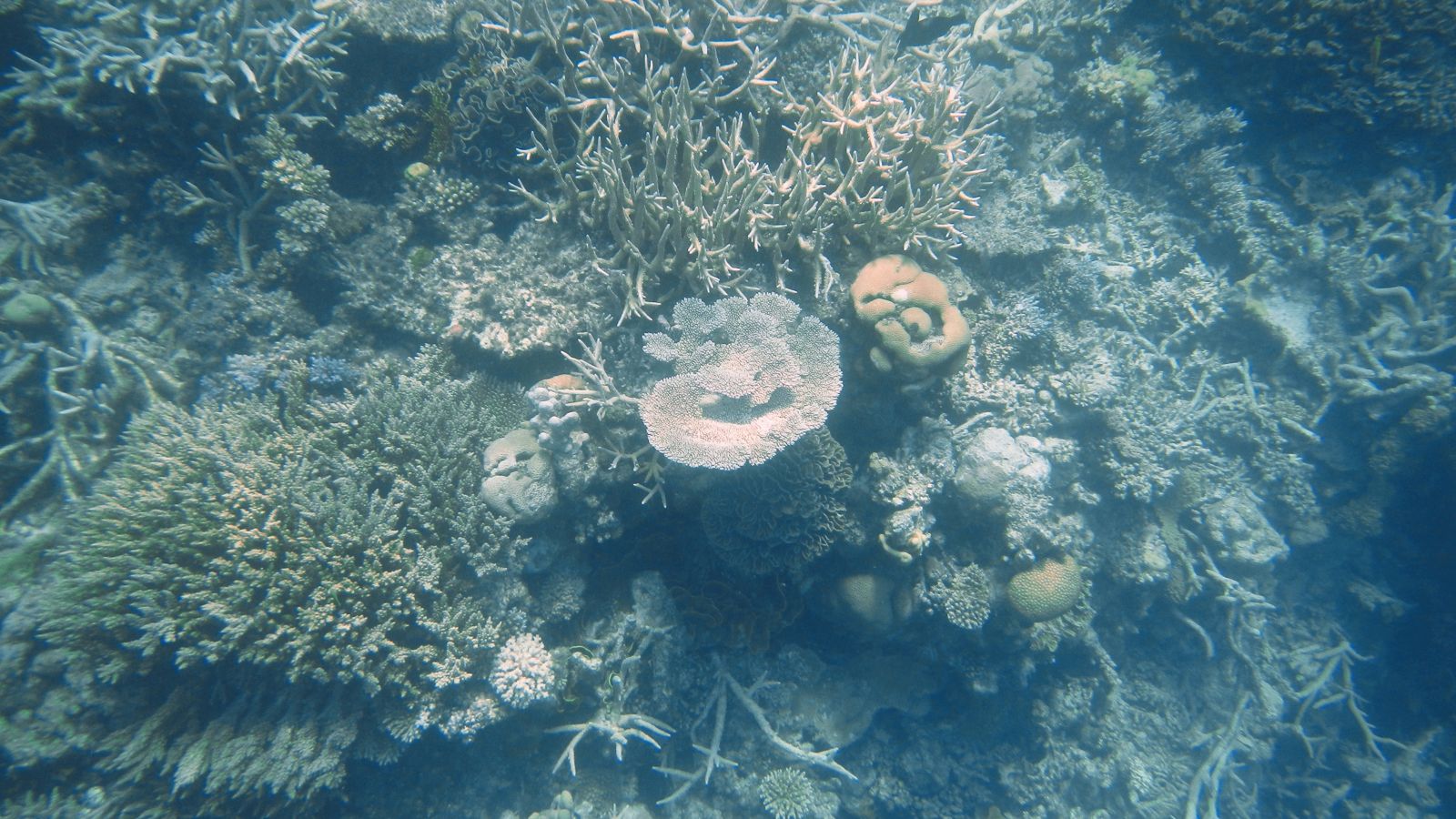
Barracuda Bommie is a spectacular giant coral pinnacle rising from 26 metres on the outer edge of the Agincourt Reef system, about 55 km off Port Douglas on the Great Barrier Reef. This iconic bommie is named for the large schools of barracuda that frequently patrol its steep walls, creating thrilling encounters for snorkelers and divers alike. The site features a dramatic reef flat that gives way to a sheer drop-off, with pristine coral gardens of staghorn, plate, and brain corals clinging to the pinnacle. As one of the outermost reefs, the water clarity is exceptional, offering superb visibility across the bommie's diverse terrain.
Barracuda Bommie (Agincourt Reef)
IntermediateGO
GO
It's a go.
Showing last known conditions
Wave Height 0.1 mSwell Period 7.0 sWind Speed 8.8 knPrecipitation 2.4 mmTidal Phase flood
Last evaluated
The spot
Community-maintained
Community contribution: submitted by Daniel
Know before you go
Logged by the community, confirmed by mods
Moderate risk: Ocean currents
Strong currents can sweep around the outer reef pinnacle, particularly on falling tides.
Low risk: Barracuda presence
Large schools of barracuda may startle inexperienced snorkelers, though they are generally not aggressive.
Wildlife Guide
No wildlife notes for this spot yet.
Gallery
1 photo from the community
Getting in
Snorkel tour
Entry
Accessible only by boat tour from Port Douglas (approx. 90-minute ride) or Cairns. Tour operators such as Quicksilver and Sailaway run daily trips to Agincourt Reef.
Parking & facilities
Paid parking available at Port Douglas marina and Cairns departure points.
toiletsparking
Tour prices range from approximately $200–$325 AUD per person, including equipment, lunch, and guided snorkeling.
Spot Map
Community
Gallery ┬╖ 1 photos
Trust
Is this spot real, accurate, still loved?
Spots near Queensland

No nearby spots yet.
Needs verification
Quick verify
One tap helps the community keep this spot honest.
About this data
- Conditions last evaluated
- Spot data last updated
- Data sources
- Open-Meteo (marine & weather conditions), tide predictions via UTide, community contributors (descriptions, hazards, marine life).
- License
- Spot content licensed under CC BY-SA 4.0. How's the Spot is open source.
Weather & swell ┬╖ Open-Meteo marine & weather APIs Tides ┬╖ UTide harmonic analysis Sea & safety ┬╖ community reports