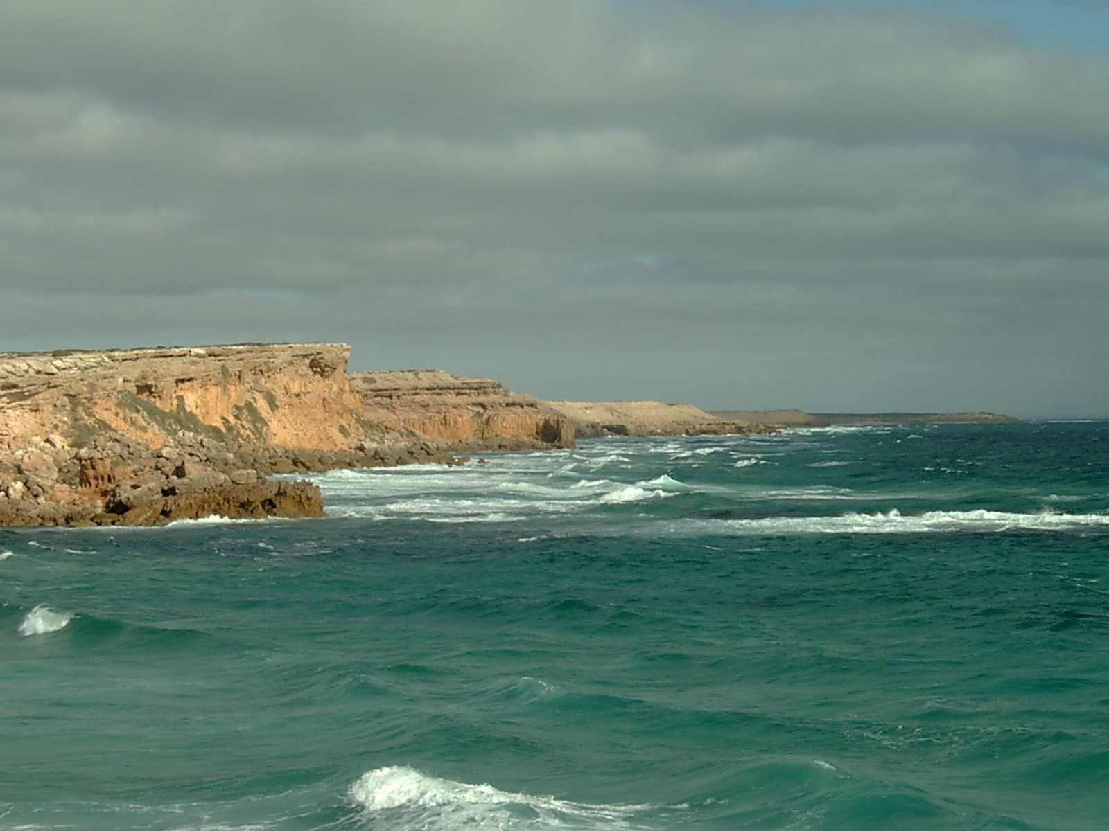
Anxious Bay stretches along the wild west coast of the Eyre Peninsula between Cape Radstock and Cape Finniss, named by Matthew Flinders in 1802. This historic bay is the gateway to the sheltered snorkelling havens of Baird Bay and Venus Bay, where limestone reefs and islands create calm, protected waters. The bay's rugged cliff-top scenery, clear Southern Ocean waters, and abundant marine life make it a memorable spot for adventurous snorkelers exploring South Australia's remote coastline.
Anxious Bay
IntermediateSKIP
SKIP
Poor conditions. Stay out today.
Showing last known conditions
Wave Height 1.2 mSwell Period 11 sWind Speed 4.9 knPrecipitation 5.4 mmTidal Phase slack
Last evaluated
The spot
Community-maintained
Community contribution: submitted by Daniel
Know before you go
Logged by the community, confirmed by mods
Moderate risk: Southern Ocean Swell
Exposed sections of Anxious Bay can receive large, powerful swells from the Southern Ocean, creating challenging conditions for snorkelers.
Moderate risk: Strong Ocean Currents
Unpredictable currents can develop near the bay's entrance and around headlands, particularly during tidal changes.
Low risk: Remote Location
Limited mobile reception and sparse population mean help is far away; self-sufficiency and caution are essential.
Low risk: Cold Water Temperatures
Water temperatures remain cool year-round (12-18°C), increasing the risk of cold shock and requiring adequate wetsuit protection.
Wildlife Guide
No wildlife notes for this spot yet.
Gallery
1 photo from the community
Getting in
Shore entry
Entry
Anxious Bay is accessible via the Flinders Highway (B100) from Elliston or Streaky Bay. The nearest towns are Venus Bay and Port Kenny, which provide road access to the shoreline. Turn off the highway onto local roads leading to Venus Bay or Baird Bay for beach entry points.
Parking & facilities
Limited roadside parking is available near Venus Bay jetty and at Baird Bay beach access points. No formal car parks.
toiletsparking
No fees for beach access.
Spot Map
Community
Gallery ┬╖ 1 photos
Trust
Is this spot real, accurate, still loved?
Spots near South Australia

No nearby spots yet.
Needs verification
Quick verify
One tap helps the community keep this spot honest.
About this data
- Conditions last evaluated
- Spot data last updated
- Data sources
- Open-Meteo (marine & weather conditions), tide predictions via UTide, community contributors (descriptions, hazards, marine life).
- License
- Spot content licensed under CC BY-SA 4.0. How's the Spot is open source.
Weather & swell ┬╖ Open-Meteo marine & weather APIs Tides ┬╖ UTide harmonic analysis Sea & safety ┬╖ community reports