Anderson Inlet is a shallow, protected estuary where the Tarwin River meets Bass Strait, just off the township of Inverloch in South Gippsland. Its calm, turquoise waters and soft sandy expanse make it a perfect spot for beginning snorkelers to float above sandy flats and patchy seagrass beds. The inlet is enclosed and sheltered from open ocean swell, yet a deep tidal channel channels strong flows in and out—creating a dynamic, refreshing environment. Mangroves fringe parts of the shoreline, and at low tide the water recedes to reveal sandbars you can walk around to reach the surf beaches beyond the western headland.
Anderson Inlet
BeginnerSKIP
SKIP
Poor conditions. Stay out today.
Showing last known conditions
Wave Height 1.1 mSwell Period 12 sWind Speed 1.4 knPrecipitation 28 mmTidal Phase flood
Last evaluated
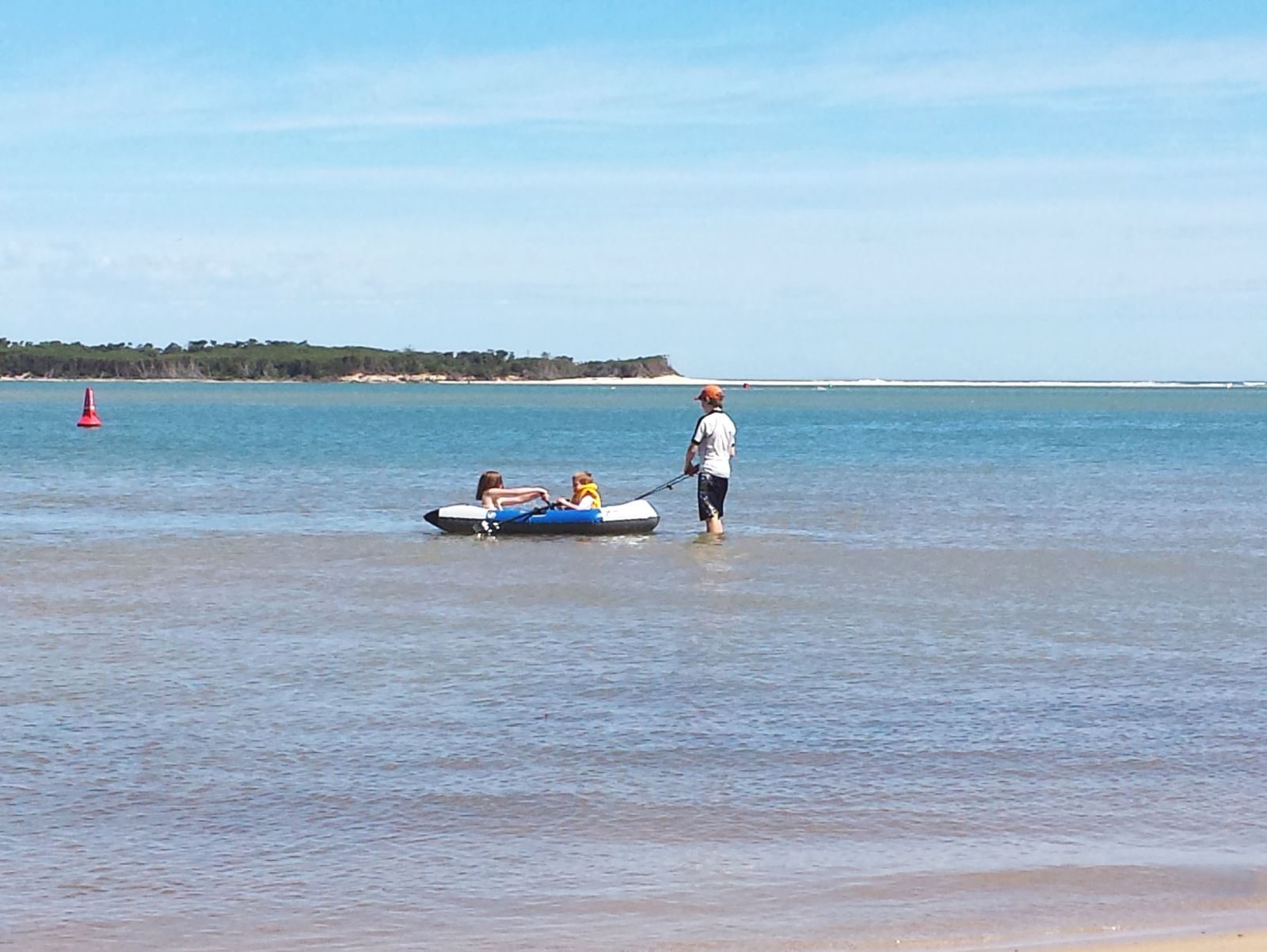 © Dalysporter
The spot
Community-maintained
Community contribution: submitted by Daniel
Know before you go
Logged by the community, confirmed by mods
Moderate risk: Strong tidal flows in the deep channel
A deep tidal channel runs through the inlet and can generate strong currents, especially on an outgoing tide. Swimmers and snorkelers should stay aware of the channel location.
Low risk: No lifeguard patrols
There are no Surf Life Saving patrols at this beach. Visitors should assess conditions themselves and exercise caution.
Wildlife Guide
No wildlife notes for this spot yet.
Gallery
2 photos from the community
Getting in
Shore entry
Entry
Anderson Inlet is located adjacent to the town of Inverloch, approximately 145 km south-east of Melbourne via the M1 and A440 (South Gippsland Highway). The inlet beaches are accessed from the Inverloch foreshore along The Esplanade.
Parking & facilities
Street parking is available along The Esplanade and near the boat ramp jetty area in Inverloch. Additional parking can be found at the Screw Creek carpark at the end of the road.
toiletsparkingpicnic_tablesboat_ramp
No entry fees. All-terrain wheelchairs are available free of charge from the Inverloch Visitor Information Centre.
Spot Map
Community
Gallery ┬╖ 2 photos
Trust
Is this spot real, accurate, still loved?
Spots near Victoria

No nearby spots yet.
Needs verification
Quick verify
One tap helps the community keep this spot honest.
About this data
- Conditions last evaluated
- Spot data last updated
- Data sources
- Open-Meteo (marine & weather conditions), tide predictions via UTide, community contributors (descriptions, hazards, marine life).
- License
- Spot content licensed under CC BY-SA 4.0. How's the Spot is open source.
Weather & swell ┬╖ Open-Meteo marine & weather APIs Tides ┬╖ UTide harmonic analysis Sea & safety ┬╖ community reports