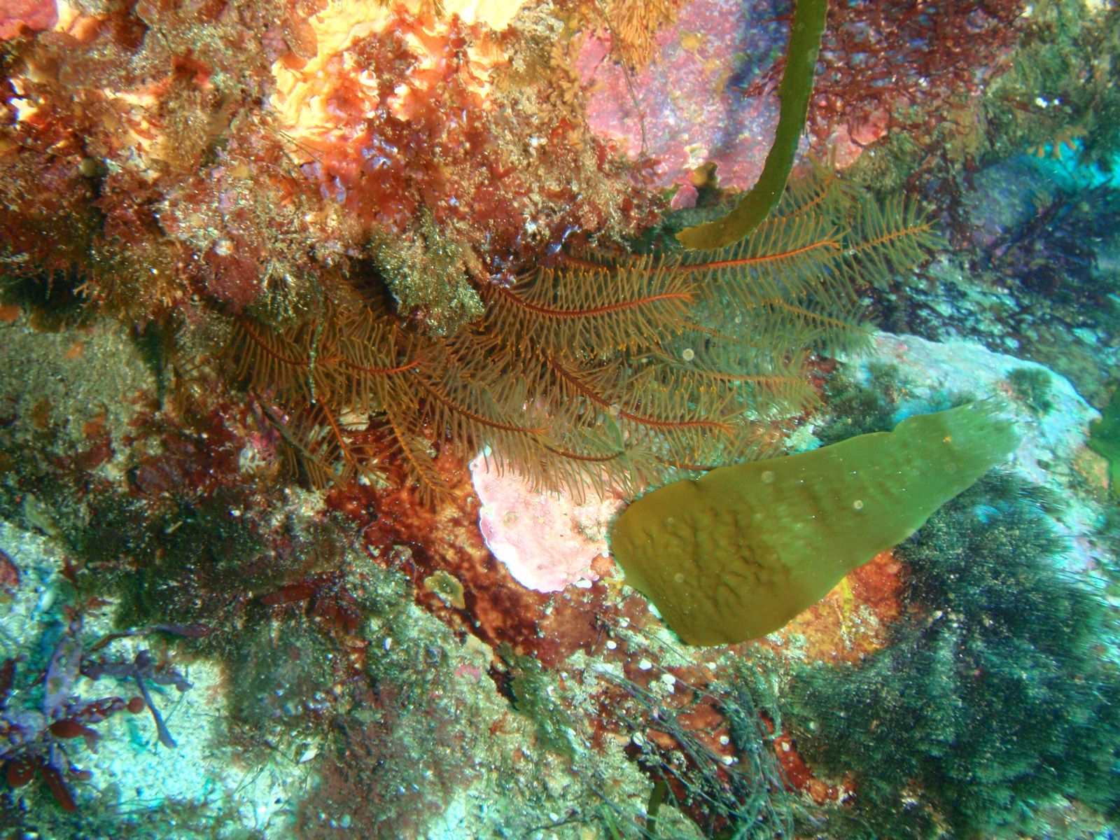
Alligator Rock is a prominent offshore rock formation off the coast of Bicheno on Tasmania's stunning east coast, within the Governor Island Marine Reserve. Part of one of the world's finest temperate diving areas, this site features dramatic underwater terrain with sheer rock walls, deep fissures, caves, and swim-throughs draped in colourful sponges and sea whips. The nutrient-rich waters from a nearby upwelling support abundant marine life, and Australian fur seals are frequently seen basking on the rock above. Access is via a short swim from Waubs Bay or by boat from Bicheno's boat ramp.
Alligator Rock
IntermediateGO
GO
It's a go.
Showing last known conditions
Wave Height 0.4 mSwell Period 4.0 sWind Speed 3.4 knPrecipitation 2.1 mmTidal Phase slack
Last evaluated
The spot
Community-maintained
Community contribution: submitted by Daniel
Know before you go
Logged by the community, confirmed by mods
Moderate risk: Strong currents and upwelling
A large upwelling north-east of the main rock creates strong unpredictable currents that can sweep snorkelers offshore.
Moderate risk: Easterly Swell
The site is exposed to easterly swells which can create strong surge conditions and reduce visibility, making entry and exit hazardous.
Moderate risk: Strong Currents
Tidal currents can run strongly around the rock formations, especially on an outgoing tide, potentially sweeping snorkelers offshore.
Low risk: Cold water temperature
Tasmanian east coast waters are cold year-round, typically 12-18°C, requiring a thick wetsuit for comfort and safety.
Low risk: Swell and surge
Exposed location can receive significant ocean swell, creating surge in caves and fissures that may dislodge swimmers.
Low risk: Sharp rocks and reef
Entry and exit over granite rocks and shallow reef can be slippery and sharp; sturdy footwear recommended.
Low risk: Boat Traffic
Waubs Gulch and surrounding channels see boat traffic; avoid swimming in marked boating lanes and stay vigilant near the surface.
Low risk: Sharp Reef
The granite bommies and encrusting invertebrates can be sharp; reef shoes and sturdy fins recommended to avoid cuts.
Low risk: Cold Water
Water temperatures in Tasmania rarely exceed 17°C even in summer; a full wetsuit (5mm+) is essential for comfort and safety.
Wildlife Guide
No wildlife notes for this spot yet.
Gallery
1 photo from the community
Getting in
Shore entry
Entry
From Hobart, take the Tasman Highway (A3) north-east for about 2 hours to Bicheno. Park near Waubs Bay (the beach at the southern end of Bicheno township) and swim out toward Alligator Rock, or launch a boat from the Bicheno boat ramp at the harbour. Alternatively, local dive charter operators offer guided trips to the site.
Parking & facilities
Free street parking is available along Waubs Esplanade adjacent to Waubs Bay Beach in Bicheno.
parkingtoilets
No fee for shore access. Boat launching fees may apply at the Bicheno boat ramp.
Spot Map
Community
Gallery ┬╖ 1 photos
Trust
Is this spot real, accurate, still loved?
Spots near Tasmania

No nearby spots yet.
Needs verification
Quick verify
One tap helps the community keep this spot honest.
About this data
- Conditions last evaluated
- Spot data last updated
- Data sources
- Open-Meteo (marine & weather conditions), tide predictions via UTide, community contributors (descriptions, hazards, marine life).
- License
- Spot content licensed under CC BY-SA 4.0. How's the Spot is open source.
Weather & swell ┬╖ Open-Meteo marine & weather APIs Tides ┬╖ UTide harmonic analysis Sea & safety ┬╖ community reports