Agnes Water and the Town of 1770 sit at the southernmost gateway to the Great Barrier Reef, where Queensland's east surf coast meets the reef. This is the only place in Australia where you can surf a beach break in the morning and snorkel a coral lagoon in the afternoon. Day tours from 1770 Marina run to Lady Musgrave Island, a pristine coral cay encircled by a turquoise lagoon teeming with turtles, manta rays, and colourful reef fish. The 90-minute cruise across Bustard Bay delivers you to the Southern Great Barrier Reef's most accessible snorkelling grounds, with crystal-clear waters, vibrant coral bommies, and regular turtle encounters.
Agnes Water & 1770
BeginnerGO
GO
It's a go.
Showing last known conditions
Wave Height 0.4 mSwell Period 5.8 sWind Speed 1.0 knPrecipitation 0.0 mmTidal Phase flood
Last evaluated
The spot
Community-maintained
Community contribution: submitted by Daniel
Know before you go
Logged by the community, confirmed by mods
Moderate risk: Marine Stingers
Stinger (marine stingers) season along the Southern Great Barrier Reef. Box jellyfish may be present in warmer months (November to May).
Low risk: Seasickness on Boat Crossing
The 90-minute open-ocean crossing to Lady Musgrave Island can cause seasickness, even on calm days. Passengers are advised to take precautions before departure.
Low risk: Venomous Cone Shells
Cone shells and other venomous marine creatures may be encountered on the reef flat. Touching or collecting shells is prohibited.
Low risk: Strong Sun & UV Exposure
Sun exposure is significant with around 300 days of sunshine per year. Reef reflection increases UV intensity.
Wildlife Guide
No wildlife notes for this spot yet.
Gallery
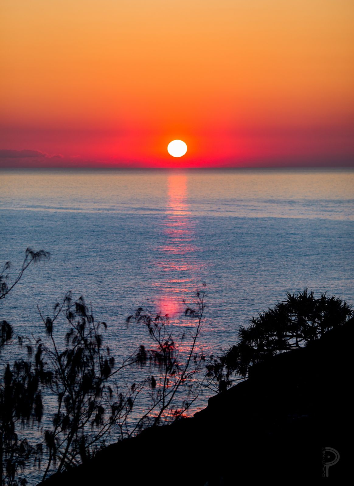
1 photo from the community
Getting in
Snorkel tour
Entry
Agnes Water and the Town of 1770 are located on Queensland's Discovery Coast, about 90 minutes south of Gladstone and 1 hour 24 minutes drive from Bundaberg. Accessible by car via the Discovery Coast; Greyhound buses also serve the area. Day tours depart from the 1770 Marina.
Parking & facilities
Free parking is available at the 1770 Marina for tour guests. Street parking is available in Agnes Water township near the beach.
Spot Map
Community
Gallery ┬╖ 1 photos
Trust
Is this spot real, accurate, still loved?
Spots near Queensland

No nearby spots yet.
Needs verification
Quick verify
One tap helps the community keep this spot honest.
About this data
- Conditions last evaluated
- Spot data last updated
- Data sources
- Open-Meteo (marine & weather conditions), tide predictions via UTide, community contributors (descriptions, hazards, marine life).
- License
- Spot content licensed under CC BY-SA 4.0. How's the Spot is open source.
Weather & swell ┬╖ Open-Meteo marine & weather APIs Tides ┬╖ UTide harmonic analysis Sea & safety ┬╖ community reports